Fishing conditions score, the best window of the day and fishing districts from the best conditions
Average of the watercourse's fishing districts
18from 100
Low activity · average of 2 fishing districts
The number in the header is an estimate for the middle of the watercourse based on weather and measurements. The average of the fishing districts also counts satellite data, shading and geology of each district.
Very high0
High0
Average0
Low2
Best window today
15:00–17:00
VN Vrbov č. 1, window score 17.
The score is an estimate of conditions based on weather, water and surroundings, not a bite forecast. Recalculated at 15:04.
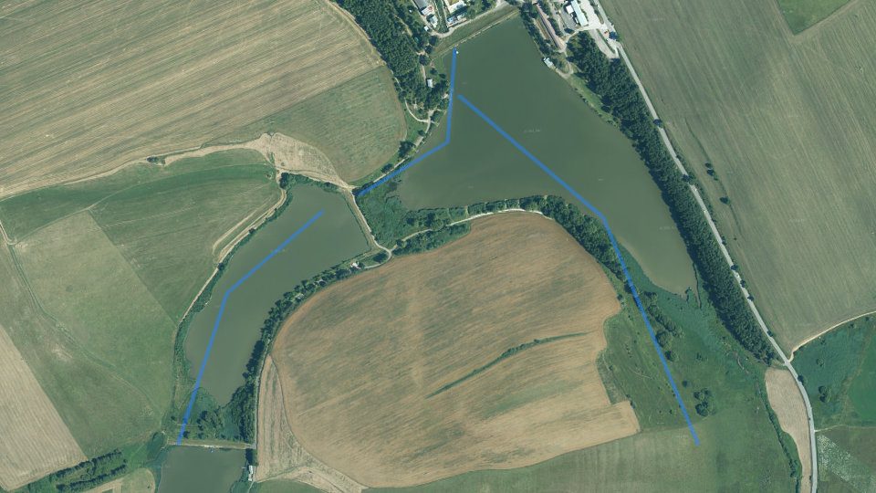
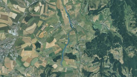
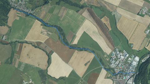
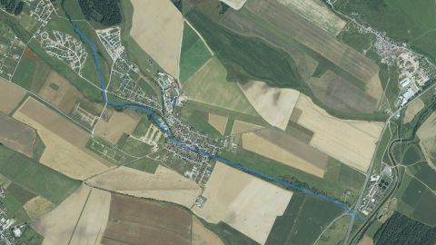
Map and fishing districts of the watercourse
The course of the watercourse and its fishing districts. You can switch the line color to today's conditions, quality or any other parameter.
Detailed filtersregion, district, riverbed, depth, shading, satellites, water chemistry and pollution, fish, geology
1445fishing districts
Pick a category to narrow the selection. Next to each option you can see how many fishing districts remain.
Map color
Loading map…
Move the map with two fingers. In full-screen mode one finger is enough.
CarpSalmonid (trout)Salmonid (grayling)
lowerhigher
The score is an estimate of conditions based on weather, water and surroundings, not a bite forecast. For each fishing district you can see what it is made of, how well it is supported by data and where the data comes from.
Elevation profile: reservoir
Terrain height along the fishing district and the approximate water level.
ReservoirThis is a reservoir, so the watercourse is not assessed here: the water has no current, fall or gradient. The chart shows the terrain height along the fishing district.
Terrain elevation profile (Reservoir): from 662 to 648 m a.s.l. over 0.8 km.Terrain height along the fishing district line, from the start (left) to the end
Approximate water level
648 m a.s.l.
Lowest point of the profile
648 m a.s.l.
Highest point of the profile
662 m a.s.l.
Source: Open Topo Data (eudem25m), 4 Nov 2026. The height is approximate (error of a few metres).
Terrain in 3D
Loading the 3D terrain model…
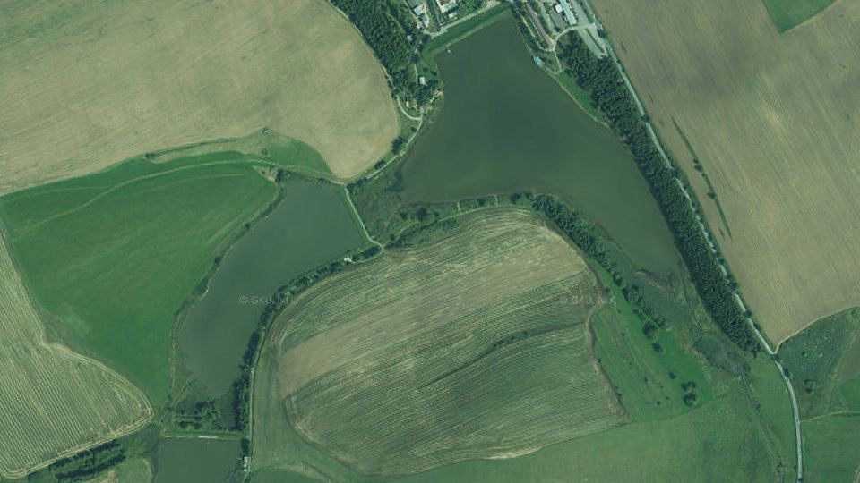
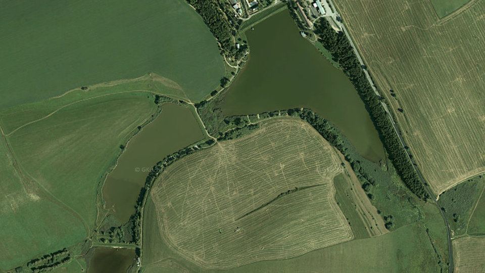
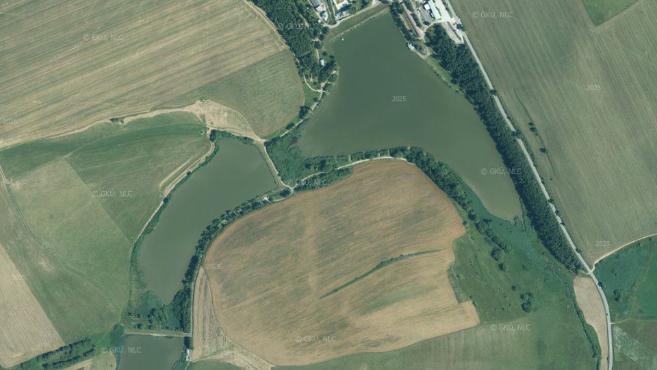
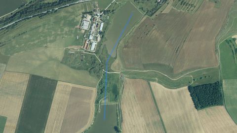
Historical images
Changes in the surroundings and nature from 2019 to 2025: how the banks, vegetation and landscape around the water change. The images switch automatically; you can also browse them by hand.
2019imaged 24 Aug 20192022imaged 27 Aug 20222025imaged 21 Jul 2025
Source: SHMÚ (yearbooks on surface and groundwater quality), the register of wastewater treatment plants from VÚVH and the EEA. A SHMÚ site is assigned to a fishing district by the same watercourse name and by distance; the yearbook lists the sites that failed the standard, so a missing site is not proof of clean water.
Organizations and location
Who manages the fishing districts and where they are
Organizations on the watercoursewho manages the fishing districts and what the conditions are there today