River basin Average fishing conditions score, the best window of the day and the best fishing districts Low activity · average of 332 fishing districts Most fishing districts have their best window around 15:00. The score is an estimate of conditions based on weather, water and surroundings, not a bite forecast. Recalculated at 02:04. The ten watercourses with the best conditions today (without a fresh score, by fishing district length). All watercourses are lower down in the cards. Cards with photos, search and detailed filters. You'll find the fishing districts on each watercourse's page. For watercourses it is enough if at least one fishing district on the watercourse has the given property. Within one group the values complement each other (or); the groups combine (and). 248 of 248 watercourses We found nothing. Watercourses and fishing districts of the river basin. You can switch the line color to today's conditions, quality or any other parameter. Detailed filtersregion, district, riverbed, depth, shading, satellites, water chemistry and pollution, fish, geology Move the map with two fingers. In full-screen mode one finger is enough. The score is an estimate of conditions based on weather, water and surroundings, not a bite forecast. For each fishing district you can see what it is made of, how well it is supported by data and where the data comes from. Who manages the basin's fishing districts and in which regions they lie Water quality according to SHMÚ, wastewater treatment plants near the fishing districts and groundwater nearby 120 of 152 fishing districts in the river basin with SHMÚ data have an unmet standard at the nearest site in at least one indicator. 174 of 318 fishing districts with measurements have groundwater nearby with a value above the limit for at least one indicator. Water pollution in the Bodrog basinWater pollution in the Hornád basinWater pollution in the Poprad basinPolluted water in Slovakia Source: SHMÚ (yearbooks on surface and groundwater quality), the register of wastewater treatment plants from VÚVH and the EEA. A SHMÚ site is assigned to a fishing district by the same watercourse name and by distance; the yearbook lists the sites that failed the standard, so a missing site is not proof of clean water.Bodrog and Hornád basin
Today in the Bodrogu a Hornádu river basin
Priemer povodia
When the best window ishow many fishing districts have their best two-hour window in a given hour
Best conditions todayfirst 6 of 332 fishing districts
Watercourses of the river basin
Watercourses ranked by today's conditionsaverage score of the fishing districts on the watercourse, their length and the best fishing district
All watercourses of the river basin
Detailed filtersdepth, bottom, watercourse line, shading, vegetation, structures
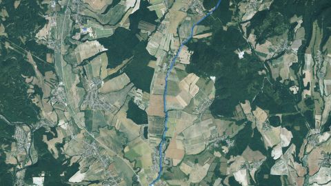 Salmon – trout
Balky
1 fishing district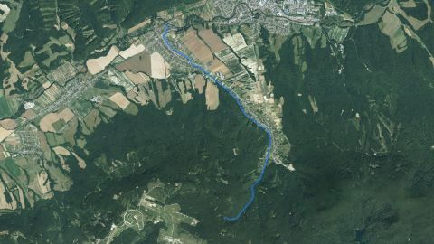 Salmon – trout
Barnov potok
2 fishing districts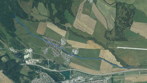 Salmon – trout
Batizovský potok
1 fishing district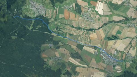 Salmon – trout
Beliansky potok
1 fishing districtBerecký prívodný kanál
1 fishing district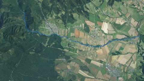 Salmon – trout
Biela
3 fishing districts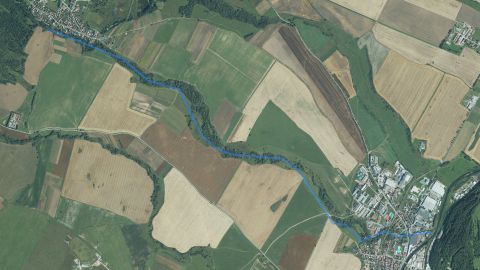 Salmon – trout
Biela voda (Kežmarok)
1 fishing district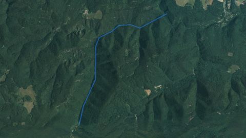 Salmon – trout
Biely potok (NP Slovenský raj)
1 fishing district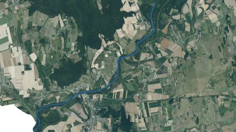 Carp
Bodrog
2 fishing districts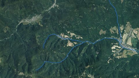 Carp, Salmon – trout
Bodva
4 fishing districts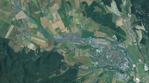 Carp
Brusník
1 fishing district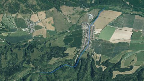 Salmon – trout
Bystrá
1 fishing district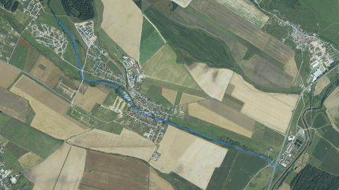 Salmon – trout
Červený potok
1 fishing district Carp
Čierna voda
1 fishing district Carp, Salmon – trout
Cirocha
2 fishing districts Salmon – trout
Delňa
1 fishing district Salmon – trout
Dobšinský potok
1 fishing district Salmon – trout
Dolinský potok
1 fishing districtDubinné
1 fishing district Salmon – trout
Dubnica
1 fishing district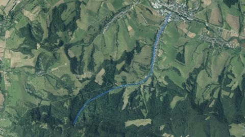 Salmon – trout
Dubovický potok
1 fishing district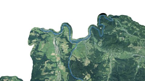 Salmon – grayling
Dunajec
2 fishing districts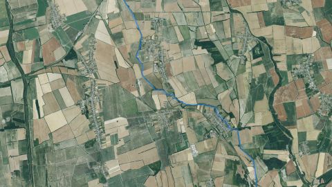 Carp
Duša
1 fishing district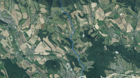 Salmon – trout
Dzikov
1 fishing district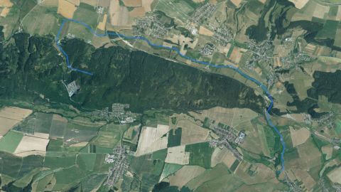 Salmon – trout
Gánovský potok
1 fishing district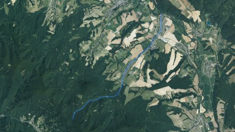 Salmon – trout
Hermanovský potok
1 fishing district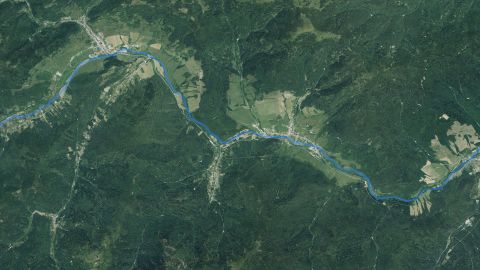 Carp, Salmon – trout
Hnilec
4 fishing districts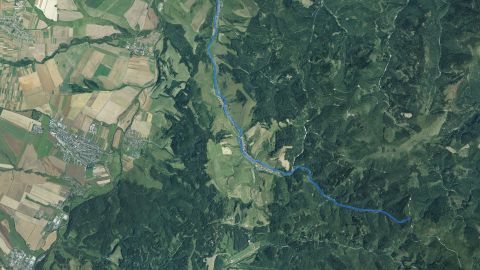 Salmon – trout
Holumnický potok
2 fishing districts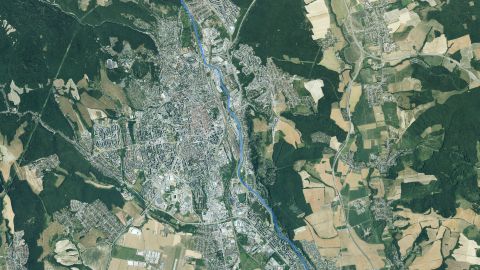 Carp, Salmon – trout
Hornád
11 fishing districts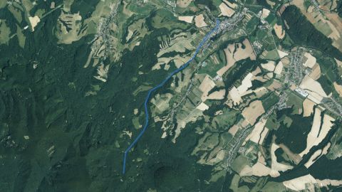 Salmon – trout
Hrabinka
1 fishing district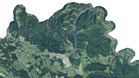 Salmon – trout
Hraničná
1 fishing district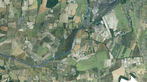 Carp, Salmon – trout
Ida
3 fishing districts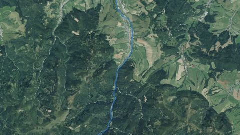 Salmon – trout
Jakubianka
2 fishing districts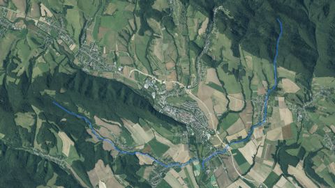 Salmon – trout
Jakuboviansky potok
1 fishing districtJazero Izra
1 fishing districtJazero Košice
1 fishing districtJazero Košice – Priemyselná časť
1 fishing districtJazero Labaška
1 fishing district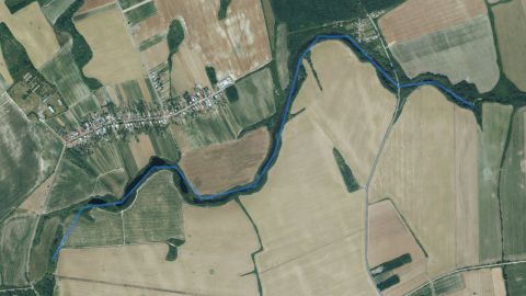 Carp
Jazero Ortov
1 fishing districtJazero Uhorná
1 fishing district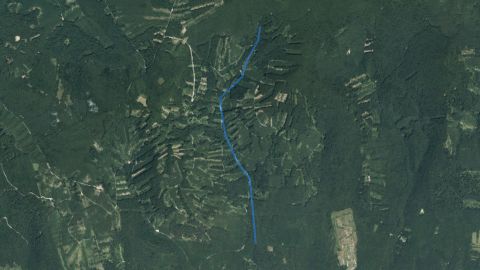 Salmon – trout
Jovsanský potok
1 fishing district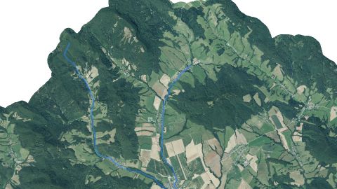 Salmon – trout
Kamenec
1 fishing district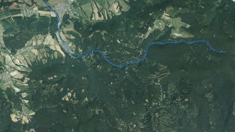 Salmon – trout
Kamenica
2 fishing districts Salmon – trout
Kamienka
1 fishing district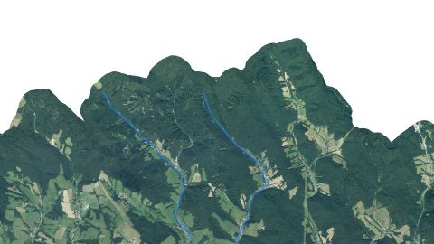 Salmon – trout
Kapišovka
1 fishing district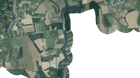 Carp
Karcsa
1 fishing district Salmon – trout
Kojšovský potok
1 fishing district Salmon – trout
Kolačkovský potok
2 fishing districts Salmon – trout
Kolonička
1 fishing district Salmon – trout
Krosna
1 fishing district Carp, Salmon – trout
Laborec
5 fishing districts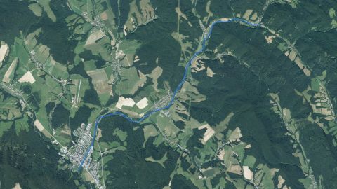 Salmon – trout
Ladomírka
1 fishing district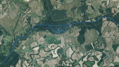 Carp
Latorica
4 fishing districts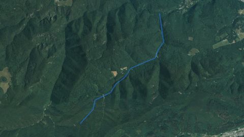 Salmon – trout
Lesnica (NP Slovenský raj)
1 fishing district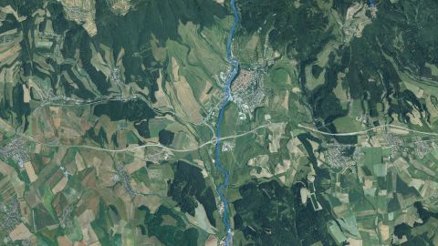 Carp, Salmon – trout
Levočský potok
3 fishing districts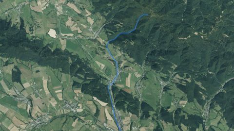 Salmon – trout
Lipiansky potok
1 fishing district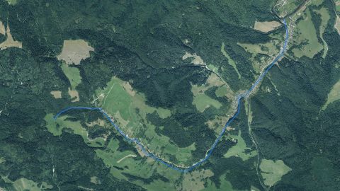 Salmon – trout
Lipník (SL)
1 fishing district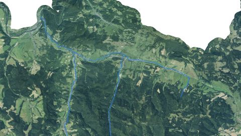 Salmon – trout
Lipník (SSV)
1 fishing district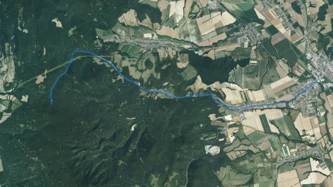 Salmon – trout
Lomnica (V n/T)
1 fishing district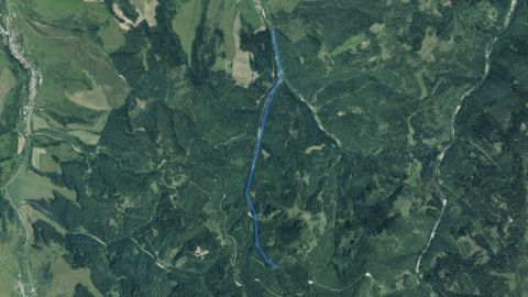 Salmon – trout
Lomnický potok
1 fishing district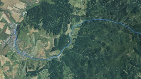 Salmon – trout
Ľubický potok
2 fishing districts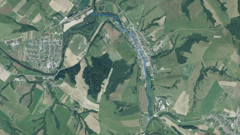 Salmon – trout
Ľubotínka
1 fishing district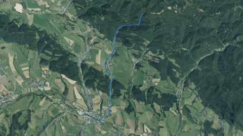 Salmon – trout
Lúčanský potok
1 fishing district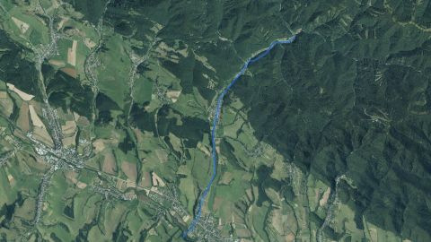 Salmon – trout
Ľutinka
1 fishing district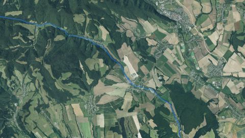 Salmon – trout
Malá Svinka
1 fishing district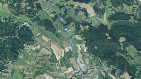 Salmon – trout
Malý Lipník
1 fishing district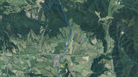 Salmon – trout
Margecanka
1 fishing districtMateriálová jama Kamenná Moľva
1 fishing districtMaterialová jama Michalovce.
1 fishing districtMaterialová jama Tehelňa
1 fishing district Carp
Myslavský potok
1 fishing districtOdpadový kanál EVO Vojany
1 fishing district Carp, Salmon – trout
Okna
3 fishing districts Carp, Salmon – trout
Oľka
2 fishing districts Salmon – trout, Carp
Olšava
3 fishing districts Carp, Salmon – grayling, Salmon – trout
Ondava
7 fishing districts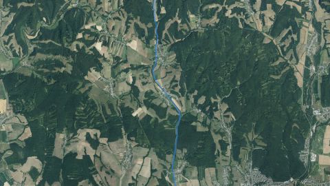 Carp, Salmon – trout
Ondavka
2 fishing districts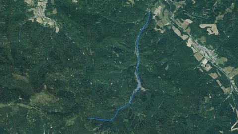 Salmon – trout
Opátka
1 fishing district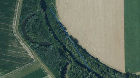 Carp
OR Bajany
1 fishing districtOR Berkeš
1 fishing districtOR Bitric
1 fishing districtOR Bufet
1 fishing districtOR Buza
1 fishing districtOR Čéne
1 fishing districtOR Drahňovský les
1 fishing district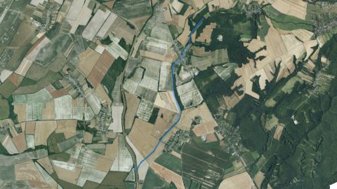 Salmon – trout
Orechovský potok
1 fishing districtOR Išky
1 fishing districtOR Kalodna
1 fishing districtOR Kenderásztató
1 fishing districtOR Libuša
1 fishing districtOR Lykotex
1 fishing districtOR Majere
1 fishing district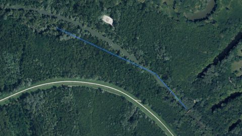 Carp
OR Mitro
1 fishing districtOR Nagyörvény
1 fishing districtOR Oborín
1 fishing district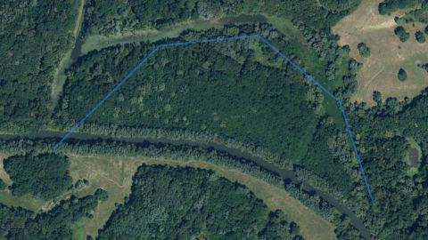 Carp
OR Papokmulató
1 fishing districtOR Soták
1 fishing districtOR Veľké Raškovce
1 fishing district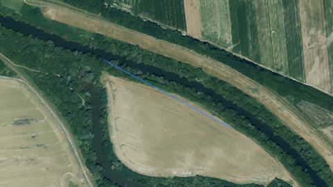 Carp
OR Vysoká nad Uhom
1 fishing district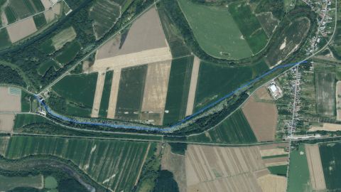 Carp
OR Zsilip – Csárda
1 fishing district Salmon – trout
Osturňanský potok
1 fishing district Carp, Salmon – trout
Pčolinka
2 fishing districts Salmon – trout
Perlovský potok
1 fishing district Salmon – trout, Salmon – grayling, Carp
Poprad
18 fishing districts Salmon – trout
Ptava
1 fishing district Carp
Radomka
1 fishing district Salmon – trout
Rieka
2 fishing districts Carp
Roňava
2 fishing districts Salmon – trout
Rybné
1 fishing district Salmon – trout
Šambronka
1 fishing district Salmon – trout
Šebastovka
1 fishing district Carp, Salmon – trout
Sekčov
2 fishing districts Salmon – trout
Šibská voda
1 fishing district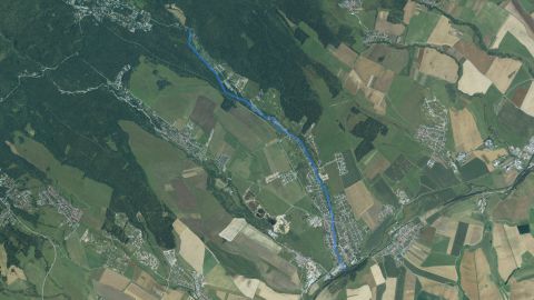 Salmon – trout
Skalnatý potok
1 fishing district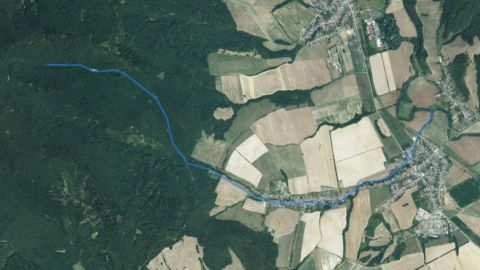 Salmon – trout
Slaný potok
1 fishing district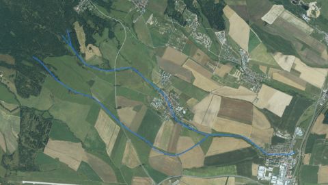 Salmon – trout
Slavkovský potok (Poprad)
1 fishing district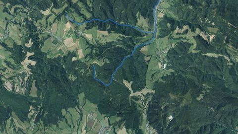 Salmon – trout
Slavkovský potok (Sabinov)
1 fishing district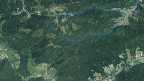 Salmon – trout
Slovinský potok
1 fishing district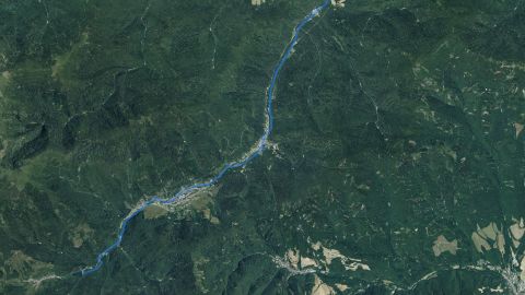 Salmon – trout
Smolnický potok
1 fishing district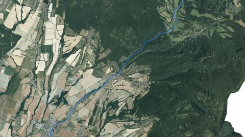 Carp
Sobranecký potok
2 fishing districts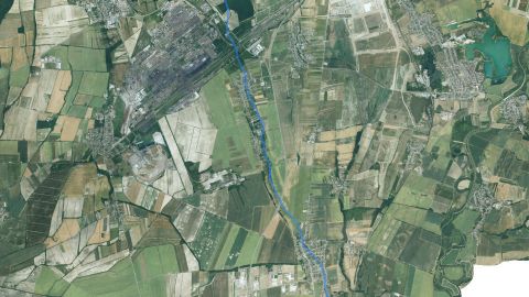 Carp
Sokoľanský potok
1 fishing districtSomotorský kanál
1 fishing district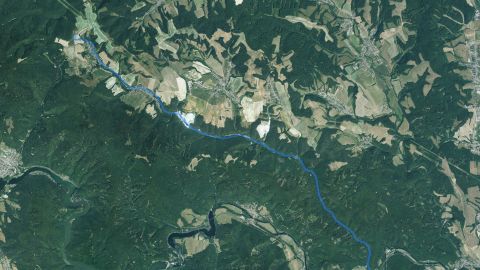 Salmon – trout
Sopotnica (KE)
1 fishing districtSpišská Belá
1 fishing district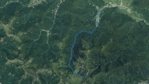 Salmon – trout
Stará Voda
1 fishing district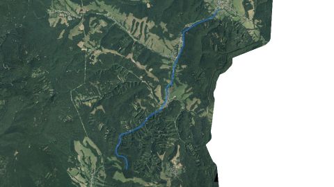 Salmon – trout
Stežná
1 fishing districtŠtrkovisko Andrejovka
1 fishing districtŠtrkovisko Batizovce
2 fishing districtsŠtrkovisko Čaňa – Hutné stavby
1 fishing districtŠtrkovisko Čaňa – Hutné stavby cintorín
1 fishing districtŠtrkovisko Čaňa – Nové jazero
1 fishing districtŠtrkovisko Čaňa – Rezervácia
1 fishing districtŠtrkovisko Čaňa – Staré jazero
1 fishing districtŠtrkovisko Geča
1 fishing districtŠtrkovisko Kechnec
1 fishing districtŠtrkovisko Kokšov – Bakša
1 fishing districtŠtrkovisko Krásna nad Hornádom
1 fishing districtŠtrkovisko Ľubotín
1 fishing districtŠtrkovisko Orlov
1 fishing districtŠtrkovisko Plaveč
1 fishing districtŠtrkovisko Rožkovany
3 fishing districtsŠtrkovisko Veľký Šariš
4 fishing districts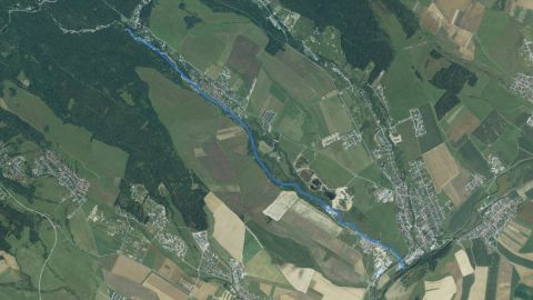 Salmon – trout
Studený potok (Poprad)
1 fishing district Salmon – trout
Šugovský potok
1 fishing district Salmon – trout
Sukovský potok
1 fishing district Salmon – trout
Svätojánsky potok
1 fishing district Salmon – trout
Terňanka
1 fishing district Salmon – trout
Tichá voda
1 fishing district Carp
Tisza
1 fishing district Carp, Salmon – trout
Topľa
8 fishing districts Salmon – trout
Toporecký potok
1 fishing district Carp, Salmon – trout
Torysa
10 fishing districts Carp
Trnávka
2 fishing districts Carp, Salmon – trout
Turňa
2 fishing districts Salmon – trout
Ubľa
1 fishing district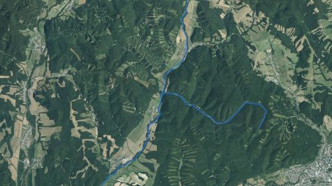 Salmon – grayling, Salmon – trout
Udava
2 fishing districts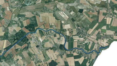 Carp
Uh
2 fishing districts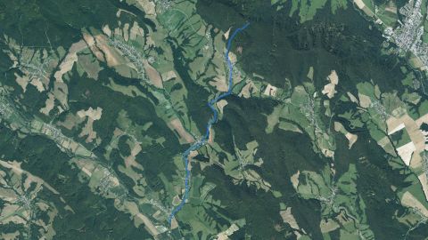 Salmon – trout
Uhlisko
1 fishing district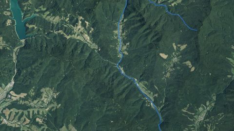 Salmon – trout
Ulička
1 fishing district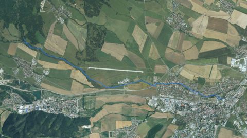 Salmon – trout
Velický potok
1 fishing district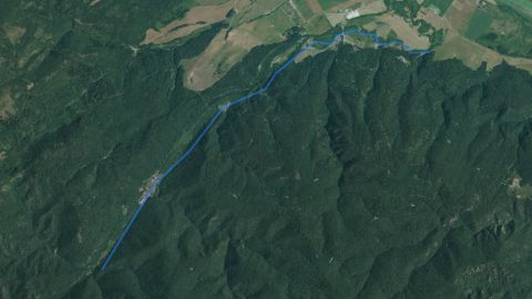 Salmon – trout
Veľká Biela Voda (NP Slovenský raj)
1 fishing district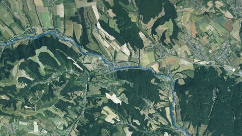 Salmon – trout
Veľká Svinka
1 fishing district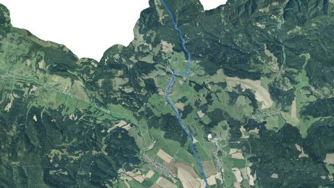 Salmon – trout
Veľký Lipník
1 fishing district Salmon – trout
Veľký potok (Sabinov)
1 fishing district Salmon – trout
Vernársky potok
1 fishing districtVN Beliansky
1 fishing districtVN Bidovce
1 fishing districtVN Blatce /Lapoš/
1 fishing districtVN Bokša I. a II.
1 fishing districtVN Budkovce I
1 fishing districtVN Budkovce II
1 fishing district Salmon – trout
VN Bukovec I.
1 fishing district Salmon – trout
VN Bukovec II.
2 fishing districts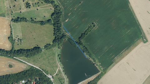 Carp
VN Byšta
1 fishing districtVN Červený Kláštor
1 fishing districtVN Chlmec – Ptava
1 fishing districtVN Danova
1 fishing district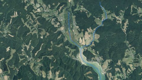 Carp
VN Domaša
1 fishing districtVN Dvorianky
1 fishing districtVN Gaboltov
1 fishing districtVN Grébpark
1 fishing districtVN Hrčel
1 fishing district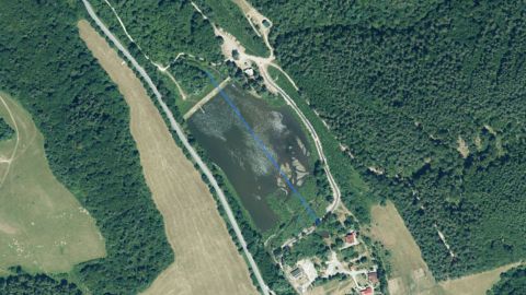 Salmon – trout
VN Jaklovce
1 fishing districtVN Jakubovany
1 fishing districtVN Janík
1 fishing districtVN Karná
1 fishing district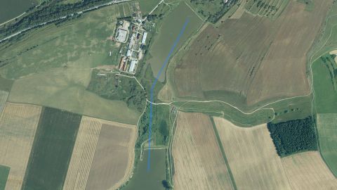 Carp
VN Kežmarok
1 fishing district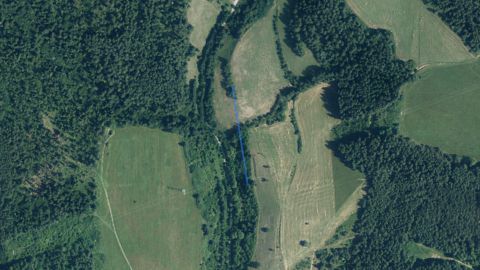 Carp
VN Klčov
1 fishing districtVN Kľušov /Hervartov/
1 fishing district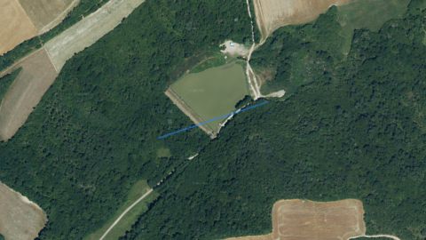 Carp
VN Kolibabovce
1 fishing district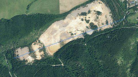 Carp
VN Korytno II.
1 fishing districtVN Krompachy
1 fishing district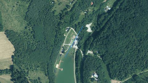 Salmon – trout
VN Levočská Dolina
1 fishing districtVN Levočské Lúky
1 fishing districtVN Malý Grébpark
1 fishing districtVN Marhaň č. 2 a 3
1 fishing districtVN Mlynčeky II.
1 fishing districtVN Mlynisko
1 fishing districtVN Nižný Hrušov
1 fishing district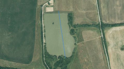 Carp
VN Nižný Lanec /Kanaš/
1 fishing districtVN Nižný Žipov
1 fishing districtVN Nokle
1 fishing districtVN Nová Vieska
1 fishing districtVN Nový Ruskov
1 fishing district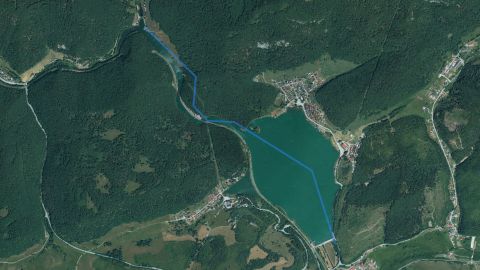 Salmon – trout
VN Palcmanská Maša
1 fishing districtVN Paňovce
1 fishing districtVN Parchovany
1 fishing districtVN Pozdišovce
1 fishing district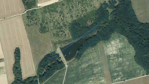 Salmon – trout
VN Rakovec
1 fishing districtVN Remeniny
1 fishing district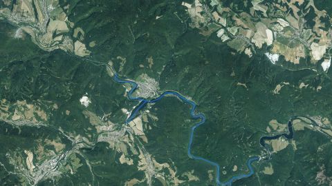 Carp
VN Ružín
1 fishing district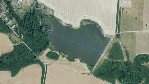 Carp
VN Sečovce
1 fishing district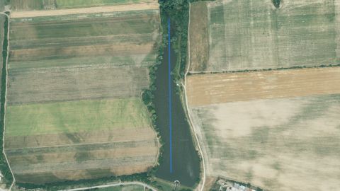 Carp
VN Seňa
1 fishing district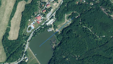 Salmon – trout
VN Sigord
1 fishing districtVN Slovenská Volová I a II
1 fishing district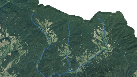 Salmon – trout
VN Starina
2 fishing districtsVN Starý Mlyn
1 fishing districtVN Stropkov
1 fishing districtVN Thurzov č. 1 a 2
1 fishing districtVN Tovarné
1 fishing districtVN Veľká Bystrá
1 fishing districtVN Vengliská
1 fishing districtVN Vinné jazero
1 fishing districtVN Vlčia Dolina
1 fishing district Carp
VN Vrbov
2 fishing districts Carp
VN Vyšná Kamenica
1 fishing district Carp
VN Vyšná Rybnica
1 fishing district Carp
VN Vyšný Orlík
1 fishing district Carp, Salmon – trout
VN Za Hurou
2 fishing districts Carp
VN Žakovce
1 fishing district Salmon – trout
VN Zbojné
1 fishing district Carp, Salmon – trout
VN Zemplínska Šírava
2 fishing districtsVN Zlatná
1 fishing districtVolianský potok
1 fishing districtVranie jazero
1 fishing district Carp
Vrbovský potok
1 fishing district Salmon – trout
VVN Dobšiná
1 fishing district Carp
VVN Domaša
1 fishing district Carp
VVN Ružín
1 fishing district Salmon – trout
Vydraňka
1 fishing district Carp
Výpustný kanál VN Zemplínska Šírava
1 fishing district Salmon – trout
Výrava
1 fishing district Salmon – trout
Zadielsky potok
1 fishing district Salmon – trout
Zamutovský potok
1 fishing district Salmon – trout
Zbojský potok
1 fishing district Salmon – trout
Žehrica
1 fishing district Salmon – trout
Železný potok
1 fishing districtZugó
1 fishing districtRiver basin map
Organizations and regions
Organizations in the river basinwhich local SRZ organizations manage fishing districts here
Show 33 more
Regionswhere the basin lies and what the conditions there are today
Water pollution in the Bodrog and Hornád river basins
Surface water near the fishing districtsnearest SHMÚ monitoring site, 2025
SHMÚ has no data for 199 fishing districts: there is no monitoring site with the same name near their watercourse.Most polluted fishing districtsfirst 8 of 109
Problem treatment plants near the fishing districts9 treatment plants within 2 km of the fishing district
Groundwater: measured valuestypical value from stations within 10 km, 2025
Highest nitrates
21from 100
1445fishing districts
Map color
Loading map…
lowerhigher