Watercourse

VN Hrončok

Hron basinSalmon – trout
fishing district
1
fishing district length
0,4km
region
Banská Bystrica Region
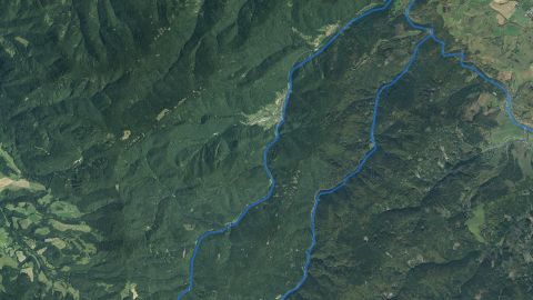
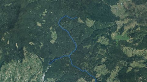
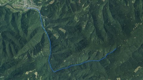
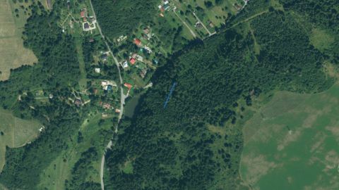
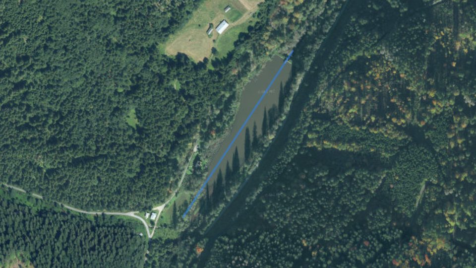
Aerial image of watercourse VN Hrončok with the line highlighted
Blue line: course of the watercourse (approximate). Orthophoto mosaic of Slovakia © GKÚ Bratislava, CC BY 4.0Mapy Google

By the water now

Today on the VN Hrončok watercourse

Fishing conditions score, the best window of the day and fishing districts from the best conditions

Average of the watercourse's fishing districts

Average activity · average of one fishing district

The number in the header is an estimate for the middle of the watercourse based on weather and measurements. The average of the fishing districts also counts satellite data, shading and geology of each district.

Best window today

15:00–17:00

VN Hrončok, window score 37.

The score is an estimate of conditions based on weather, water and surroundings, not a bite forecast. Recalculated at 07:04.

Map and fishing districts of the watercourse

The course of the watercourse and its fishing districts. You can switch the line color to today's conditions, quality or any other parameter.

Detailed filtersregion, district, riverbed, depth, shading, satellites, water chemistry and pollution, fish, geology

1445fishing districts
Pick a category to narrow the selection. Next to each option you can see how many fishing districts remain.
Map color
Loading map…

Move the map with two fingers. In full-screen mode one finger is enough.

    Elevation profile: reservoir

    Terrain height along the fishing district and the approximate water level.

    Reservoir This is a reservoir, so the watercourse is not assessed here: the water has no current, fall or gradient. The chart shows the terrain height along the fishing district.

    6566586606626646660,0 km0,1 km0,2 km0,3 km
    Terrain elevation profile (Reservoir): from 665 to 658 m a.s.l. over 0.4 km.
    Terrain height along the fishing district line, from the start (left) to the end
    Approximate water level
    662 m a.s.l.
    Lowest point of the profile
    658 m a.s.l.
    Highest point of the profile
    665 m a.s.l.

    Source: Open Topo Data (eudem25m), 4 Nov 2026. The height is approximate (error of a few metres).

    Terén v 3D

    Loading the 3D terrain model…

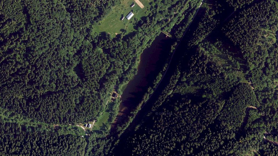
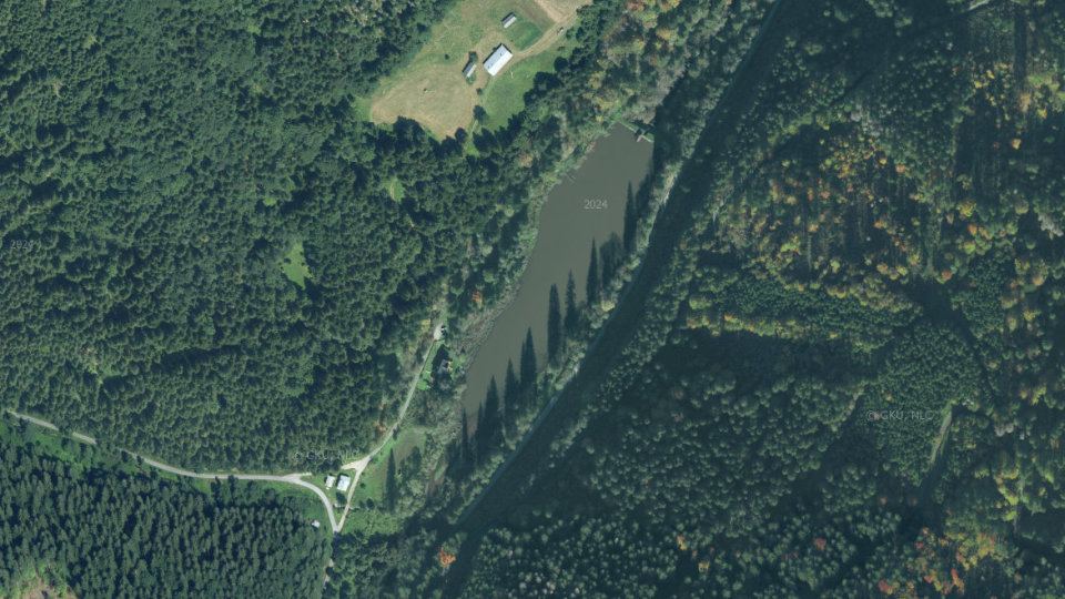
    Historical images

    Changes in the surroundings and nature from 2018 to 2024: how the banks, vegetation and landscape around the water change. The images switch automatically; you can also browse them by hand.

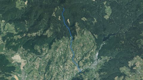
    Aerial image of watercourse VN Hrončok from 2018
    2018imaged 30 Sep 2018
    Aerial image of watercourse VN Hrončok from 2021
    2021imaged 18 Jun 2021
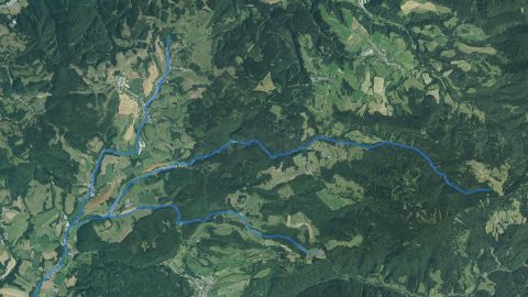
    Aerial image of watercourse VN Hrončok from 2024
    2024imaged 18 Oct 2024

    Orthophoto mosaic of Slovakia © GKÚ Bratislava, NLC Zvolen. The year and day of imaging depend on the location, so individual years may differ in season and weather.

    Water pollution on the VN Hrončok watercourse

    Water quality according to SHMÚ, wastewater treatment plants near the fishing districts and groundwater nearby

    Groundwater: measured valuestypical value from stations within 10 km, 2025

    1 of 1 fishing district with measurements has groundwater nearby with a value above the limit for at least one indicator.

    • harmful substances above the standard at at least one station (metals, pesticides, PFAS, solvents)1

    Watercourse profile from source to mouthnumber of unmet indicators in 2025 at SHMÚ sites

    012345Červená Skala, nad, rkm 269.6: 1 indicator (2025)Bujakovo, rkm 227.2: 1 indicator (2025)Dubová, most (PTCHEM, nad), rkm 204.5: 2 indicators (2025)Nemecká, most (PTCHEM, pod), rkm 202.3: 3 indicators (2025)Medzibrod (most), rkm 195.7: 1 indicator (2025)Šalková, rkm 181.6: 1 indicator (2025)Banská Bystrica, rkm 175.8: 1 indicator (2025)Hronsek, rkm 165.3: no failed standard (2024)Zvolen (hať Podharajch), rkm 156.5: 2 indicators (2025)Budča, rkm 148.2: 1 indicator (2025)Trnavá Hora – Jalná, rkm 140.1: no failed standard (2025)Žiar nad Hronom, rkm 131.5: 1 indicator (2025)Žarnovica, nad, rkm 112.0: 1 indicator (2023)Brehy, rkm 93.9: 1 indicator (2025)Tekovská Breznica, rkm 88.9: no failed standard (2025)Kozárovce, rkm 78.8: no failed standard (2025)Starý Tekov – most (pod MVE), rkm 70.5: no failed standard (2025)Kalná nad Hronom, rkm 63.7: no failed standard (2025)Želiezovce (cestný most Želiezovce – Sikenica), rkm 35.6: no failed standard (2025)Kamenica nad Hronom, rkm 1.7: 5 indicators (2025)rkm 270 (upper course)rkm 2 (towards the mouth)
    Show sites in the table (20)
    • Červená Skala, nadriver km 269.61 indicator
    • Bujakovoriver km 227.21 indicator
    • Dubová, most (PTCHEM, nad)river km 204.52 indicators
    • Nemecká, most (PTCHEM, pod)river km 202.33 indicators
    • Medzibrod (most)river km 195.71 indicator
    • Šalkováriver km 181.61 indicator
    • Banská Bystricariver km 175.81 indicator
    • Hronsekriver km 165.3no unmet standard
    • Zvolen (hať Podharajch)river km 156.52 indicators
    • Budčariver km 148.21 indicator
    • Trnavá Hora – Jalnáriver km 140.1no unmet standard
    • Žiar nad Hronomriver km 131.51 indicator
    • Žarnovica, nadriver km 112.01 indicator
    • Brehyriver km 93.91 indicator
    • Tekovská Breznicariver km 88.9no unmet standard
    • Kozárovceriver km 78.8no unmet standard
    • Starý Tekov – most (pod MVE)river km 70.5no unmet standard
    • Kalná nad Hronomriver km 63.7no unmet standard
    • Želiezovce (cestný most Želiezovce – Sikenica)river km 35.6no unmet standard
    • Kamenica nad Hronomriver km 1.75 indicators
    • standard not met
    • no unmet standard
    • site not in the yearbook

    Source: SHMÚ (yearbooks on surface and groundwater quality), the register of wastewater treatment plants from VÚVH and the EEA. A SHMÚ site is assigned to a fishing district by the same watercourse name and by distance; the yearbook lists the sites that failed the standard, so a missing site is not proof of clean water.

    Organizations and location

    Who manages the fishing districts and where they are

    Organizations on the watercoursewho manages the fishing districts and what the conditions are there today

    1. OZ Čierny Balog1 fishing district · 0,4 km36VN Hrončok36
    More watercourses nearby

    Hron basin