River basin Average fishing conditions score, the best window of the day and the best fishing districts Low activity · average of 268 fishing districts Most fishing districts have their best window around 15:00. The score is an estimate of conditions based on weather, water and surroundings, not a bite forecast. Recalculated at 02:04. The ten watercourses with the best conditions today (without a fresh score, by fishing district length). All watercourses are lower down in the cards. Cards with photos, search and detailed filters. You'll find the fishing districts on each watercourse's page. For watercourses it is enough if at least one fishing district on the watercourse has the given property. Within one group the values complement each other (or); the groups combine (and). 211 of 211 watercourses We found nothing. Watercourses and fishing districts of the river basin. You can switch the line color to today's conditions, quality or any other parameter. Detailed filtersregion, district, riverbed, depth, shading, satellites, water chemistry and pollution, fish, geology Move the map with two fingers. In full-screen mode one finger is enough. The score is an estimate of conditions based on weather, water and surroundings, not a bite forecast. For each fishing district you can see what it is made of, how well it is supported by data and where the data comes from. Who manages the basin's fishing districts and in which regions they lie Water quality according to SHMÚ, wastewater treatment plants near the fishing districts and groundwater nearby 102 of 114 fishing districts in the river basin with SHMÚ data have an unmet standard at the nearest site in at least one indicator. 188 of 258 fishing districts with measurements have groundwater nearby with a value above the limit for at least one indicator. Water pollution in the Hron basinWater pollution in the Ipeľ basinWater pollution in the Slaná basinPolluted water in Slovakia Source: SHMÚ (yearbooks on surface and groundwater quality), the register of wastewater treatment plants from VÚVH and the EEA. A SHMÚ site is assigned to a fishing district by the same watercourse name and by distance; the yearbook lists the sites that failed the standard, so a missing site is not proof of clean water.Hron basin
Today in the Hron river basin
Priemer povodia
When the best window ishow many fishing districts have their best two-hour window in a given hour
Best conditions todayfirst 6 of 268 fishing districts
Watercourses of the river basin
Watercourses ranked by today's conditionsaverage score of the fishing districts on the watercourse, their length and the best fishing district
All watercourses of the river basin
Detailed filtersdepth, bottom, watercourse line, shading, vegetation, structures
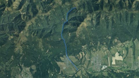 Salmon – trout
Bacúšsky potok
1 fishing districtBanský potok
1 fishing district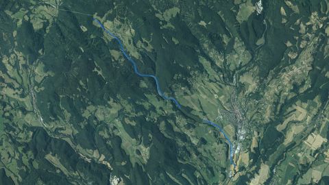 Salmon – trout
Bebrava (Krupina)
1 fishing districtBelianska vodná nádrž
1 fishing district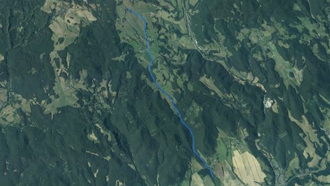 Salmon – trout
Belujský potok
1 fishing district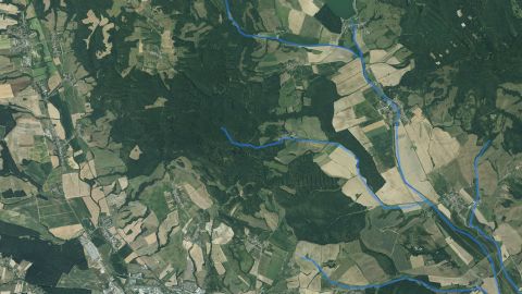 Carp, Salmon – trout
Blh
2 fishing districts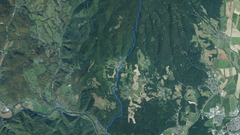 Salmon – trout
Breznický potok
1 fishing district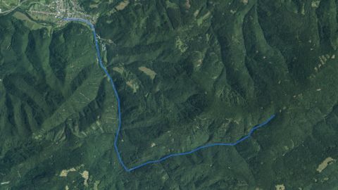 Salmon – trout
Brusnianka
1 fishing district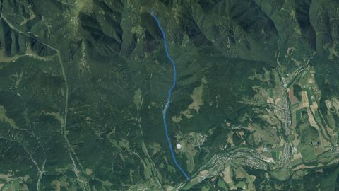 Salmon – trout
Bukovec (Brusno)
1 fishing district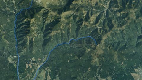 Salmon – trout
Bystrianka
2 fishing districts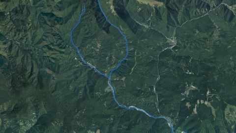 Salmon – trout
Bystrica (Ban. Bystrica)
1 fishing district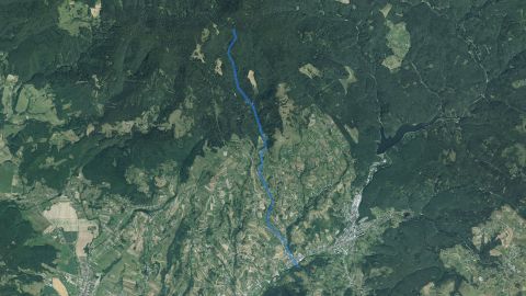 Salmon – trout
Bystrý potok (Zvolen)
1 fishing district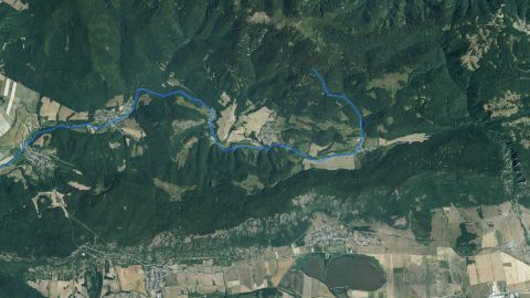 Salmon – trout
Čermošňa
1 fishing districtChválenský potok
1 fishing district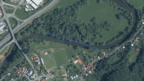 Carp
Cibulkove pleso
1 fishing district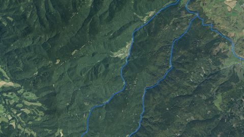 Salmon – grayling, Salmon – trout
Black Hron
2 fishing districts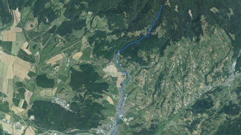 Salmon – trout
Detviansky potok
1 fishing district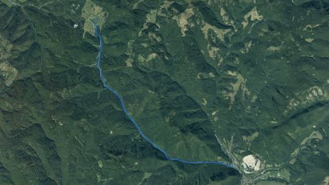 Salmon – trout
Furmanec
1 fishing districtHalčianska vodná nádrž
1 fishing district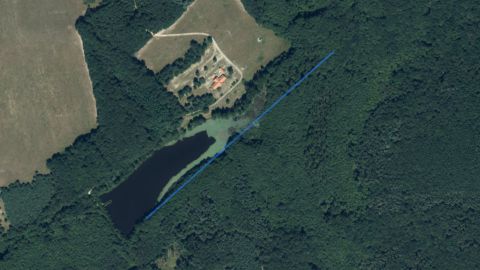 Carp
Horný rybník Petrovec
1 fishing district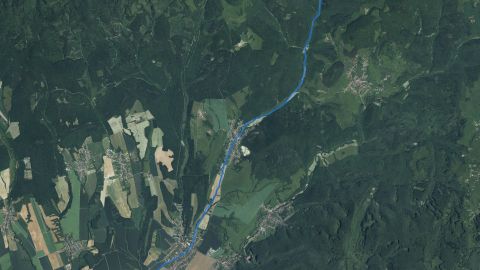 Salmon – trout
Hostiansky potok
1 fishing district Carp, Salmon – grayling, Salmon – trout
Hron
19 fishing districtsHronské rameno Plavno
1 fishing district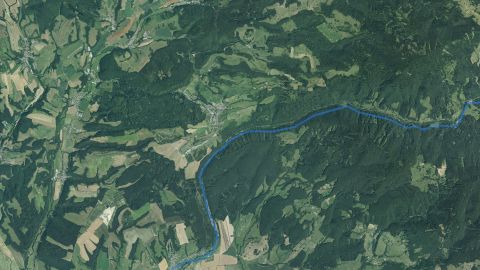 Salmon – trout
Hučava (Zvolen)
1 fishing district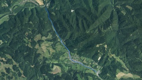 Salmon – trout
Hutná
1 fishing district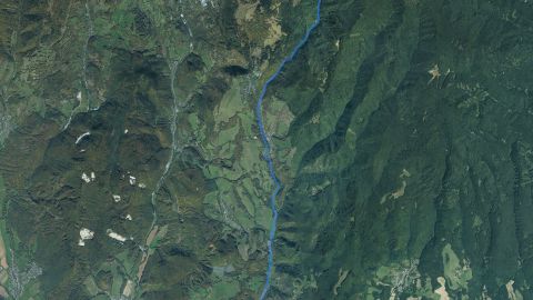 Salmon – trout
Ihráčsky potok
1 fishing district Carp, Salmon – trout
Ipeľ
7 fishing districts Salmon – trout
Jaseniansky potok
1 fishing district Salmon – trout
Jasenica – Starý potok
1 fishing districtJazero Farárova Jama
1 fishing district Carp
Jazero Štampoch
1 fishing districtKamenický kanál
1 fishing district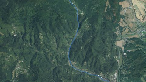 Salmon – trout
Kľak
1 fishing district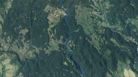 Salmon – trout
Klastavský potok
1 fishing district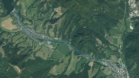 Salmon – trout
Klenovská Rimava
1 fishing district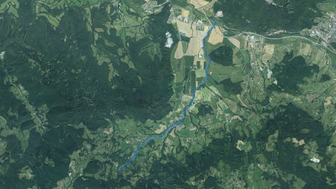 Salmon – trout
Kocanský potok
1 fishing districtKomorovské vodné nádrže
1 fishing district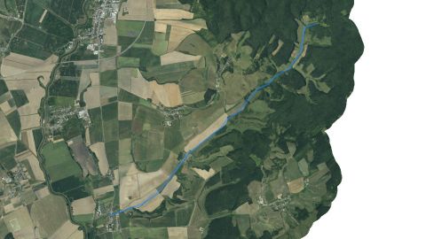 Carp
Koňský potok
1 fishing district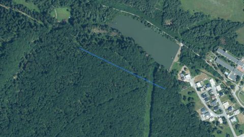 Carp
Kováčovský rybník
1 fishing district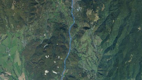 Salmon – trout
Kremnický potok
1 fishing district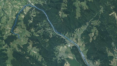 Salmon – trout
Krivánsky potok
1 fishing district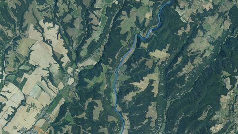 Carp, Salmon – trout
Krupinica
3 fishing districtsKúpna Baňa
1 fishing district Salmon – trout
Lehotský potok (RA)
1 fishing district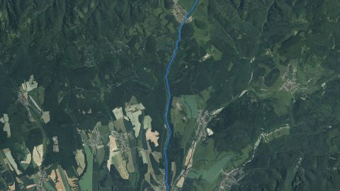 Salmon – trout
Leveš
1 fishing districtLiešanský potok
1 fishing district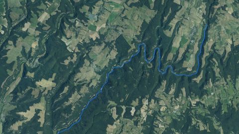 Salmon – trout
Litava
1 fishing districtLohyňa
1 fishing districtLovčica
1 fishing district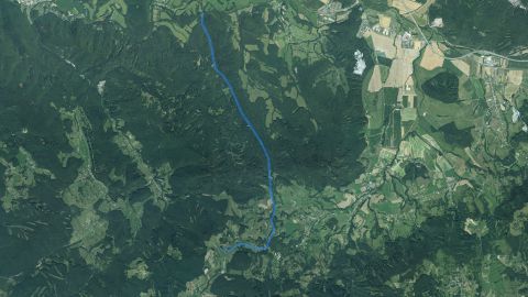 Salmon – trout
Ľubica
1 fishing district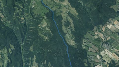 Salmon – trout
Ľuborečský potok
1 fishing district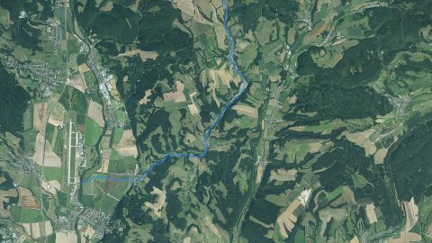 Salmon – trout
Lukavica
1 fishing district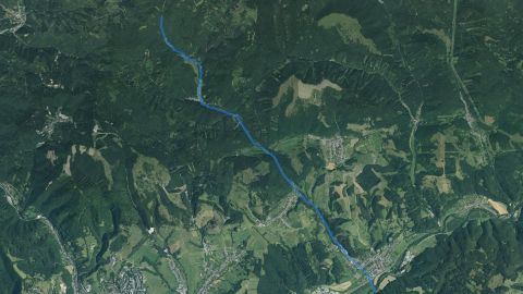 Salmon – trout
Ľupčica
1 fishing district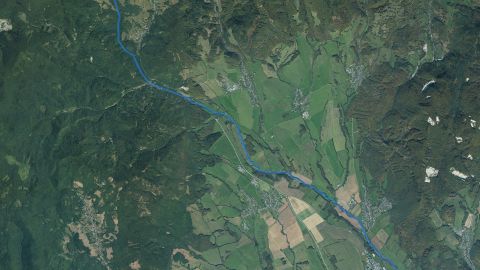 Salmon – trout
Lutilský potok
1 fishing district Salmon – trout
Malachovský potok
1 fishing districtMokráň
1 fishing district Salmon – trout
Moštenický potok
1 fishing district Carp, Salmon – trout
Muráň
3 fishing districts Salmon – trout
Neresnica
1 fishing district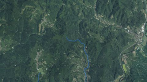 Salmon – trout
Novobanský potok
1 fishing districtObecný potok
1 fishing district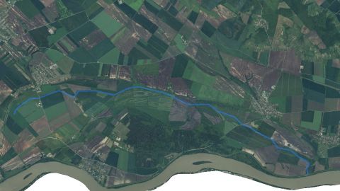 Carp
Obidský kanál
1 fishing districtOR Berek
5 fishing districtsOR Bohúňovo
1 fishing district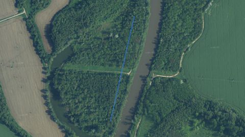 Carp
OR Gaštanový háj
1 fishing district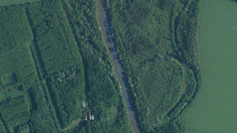 Carp
OR Hrable
1 fishing districtOR Hrona (Nová Baňa)
1 fishing districtOR Ipľa – Hrkovce
1 fishing districtOR Ipľa – Preseľany nad Ipľom
1 fishing districtOR Iplík
1 fishing district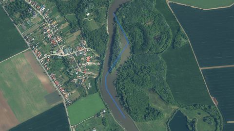 Carp
OR Kukučínov
1 fishing districtOR Luftov
1 fishing districtOR Mikulské
1 fishing districtOR Muráň
1 fishing districtOR Nový Potok
1 fishing districtOrovnický potok
1 fishing districtOR Pod Rybou
1 fishing district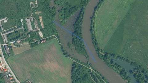 Carp
OR Pod Žrebčínom
1 fishing districtOR Rožňavské
1 fishing districtOR Svodov (dlhé, malé)
1 fishing district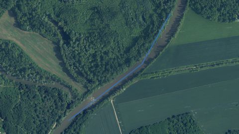 Carp
OR Vozokanské
1 fishing districtOR Žiar
1 fishing district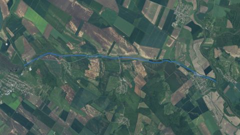 Carp
Paríž
1 fishing district Carp
Perec
3 fishing districts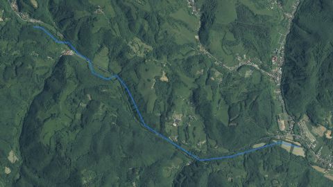 Salmon – trout
Pilanský potok
1 fishing district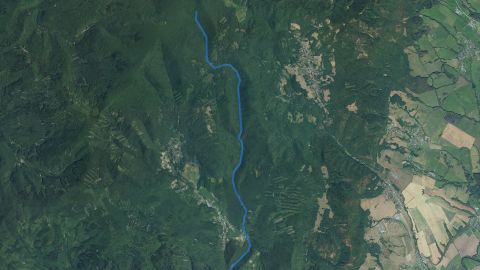 Salmon – trout
Pokutský potok
1 fishing district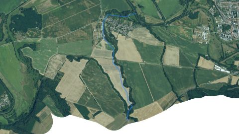 Carp
Preseľanský potok
1 fishing district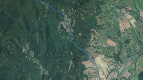 Salmon – trout
Prochotský potok
1 fishing district Carp
Rašický potok
1 fishing district Carp, Salmon – grayling, Salmon – trout
Rimava
8 fishing districts Salmon – trout
Rimavica
1 fishing district Salmon – grayling
Rohozná
1 fishing district Salmon – trout
Rožňavský potok
1 fishing district Salmon – trout
Rybník Karafová
1 fishing districtRybník pod Blatami
1 fishing districtRychnavské vodné nádrže
1 fishing district Salmon – trout
Rychňavský potok
1 fishing district Salmon – trout
Sekier
1 fishing district Salmon – trout
Sielnický potok
1 fishing district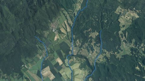 Carp
Sikenica
2 fishing districts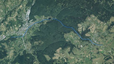 Salmon – trout
Skalisko
1 fishing district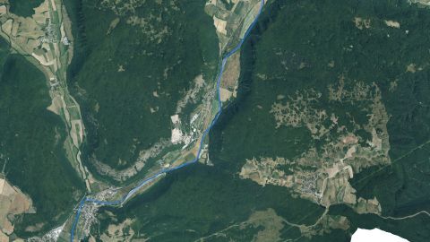 Salmon – trout, Carp
Slaná
7 fishing districts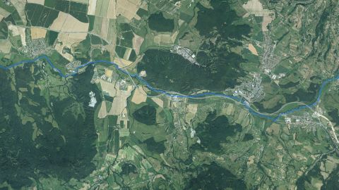 Carp, Salmon – trout
Slatina
2 fishing districts Salmon – trout
Sopotnica
1 fishing district Salmon – trout
Starohorský potok
2 fishing districts Carp, Salmon – trout
Štiavnica
3 fishing districts Salmon – trout
Štítnický potok
1 fishing districtŠtrkoviská Trebeľovce – Lazy
1 fishing districtŠtrkovisko Mýtne Ludany
1 fishing districtŠtrkovisko Okrúhle
1 fishing districtŠtrkovisko Rapovce
1 fishing districtŠtrkovisko Šahy
1 fishing districtŠtrkovisko Tlmače
1 fishing districtŠtrkovisko Veľká nad Ipľom I.
1 fishing districtŠtrkovisko Veľká nad Ipľom II.
1 fishing district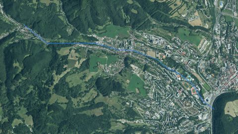 Salmon – trout
Tajovský potok
1 fishing district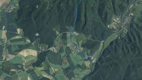 Salmon – trout
Tekovský potok
1 fishing district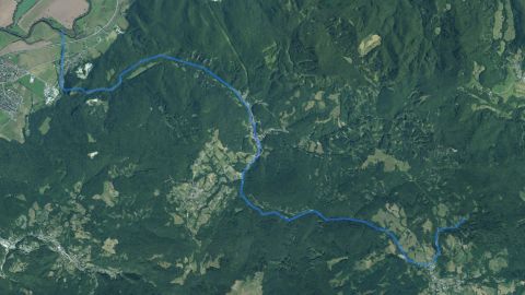 Salmon – trout
Teplá
1 fishing district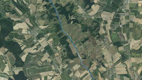 Carp
Teška
1 fishing district Salmon – trout
Tisovník
1 fishing district Salmon – trout
Tuhársky potok
1 fishing district Carp
Turiec
2 fishing districts Salmon – trout
Turová
1 fishing district Salmon – trout
Vajskovský potok
1 fishing district Salmon – trout
Vajsov
1 fishing districtVeľká Kolpašská nádrž
1 fishing districtVN Badín
1 fishing district Carp
VN Banská Belá
1 fishing districtVN Bátka
1 fishing district Carp
VN Bátovce
1 fishing districtVN Brzotín
1 fishing district Carp
VN Číž
1 fishing districtVN Devičany
1 fishing district Carp
VN Dobrá Niva
1 fishing district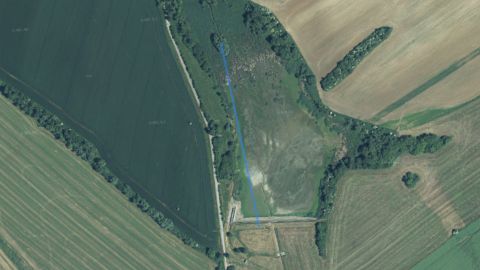 Carp
VN Drženice
1 fishing district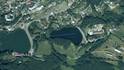 Carp
VN Evička
1 fishing districtVN Gemerské Teplice
1 fishing district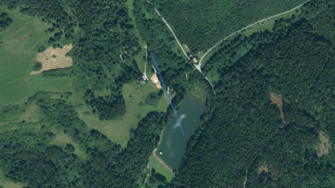 Carp
VN Hnusno
1 fishing district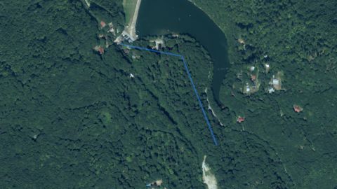 Carp
VN Hodruša
1 fishing districtVN Horná Ždaňa
1 fishing district Salmon – trout, Carp
VN Hriňová
2 fishing districts Salmon – trout
VN Hrončok
1 fishing districtVN Hrušov I.
1 fishing districtVN Hrušov II.
1 fishing district Carp
VN Hubovo
1 fishing districtVN Jelšava
1 fishing district Carp
VN Kalná n. Hronom
1 fishing district Salmon – trout, Carp
VN Klenovec
2 fishing districtsVN Klinger
1 fishing districtVN Kopanice
1 fishing district Carp
VN Kozárovce
1 fishing districtVN Krpáčovo
1 fishing district Carp
VN Krupina
1 fishing districtVN Kružná
1 fishing district Carp
VN Kurinec
1 fishing district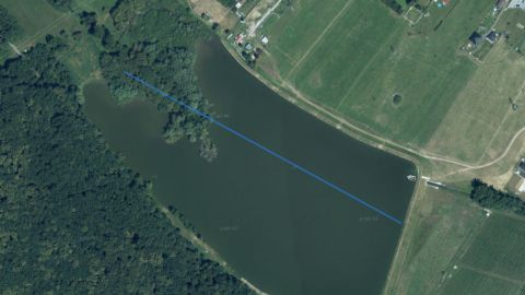 Carp
VN Ľadovo
1 fishing district Carp
VN Levkuška
1 fishing district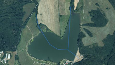 Carp
VN Ľuboreč
1 fishing district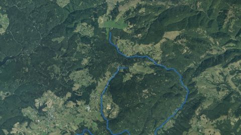 Salmon – trout, Carp
VN Málinec
2 fishing districtsVN Miková
1 fishing district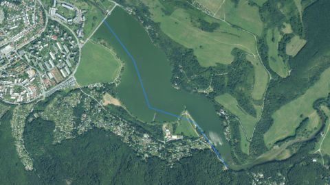 Carp
VN Môťová
1 fishing district Salmon – trout
VN Motyčky
1 fishing districtVN Muchov Vŕšok
1 fishing districtVN Muránska Dolná
1 fishing district Carp
VN Mýtna
1 fishing district Carp
VN Nenince
1 fishing district Carp
VN Ožďany
1 fishing district Carp
VN Petrovce
1 fishing districtVN Plášťovce
1 fishing districtVN Počúvadlo
1 fishing districtVN Pustý hrad
1 fishing district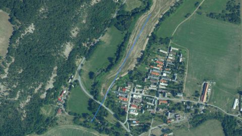 Carp
VN Rakynčice
1 fishing districtVN Ratka
1 fishing district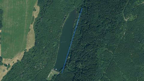 Carp
VN Richtárovo
1 fishing district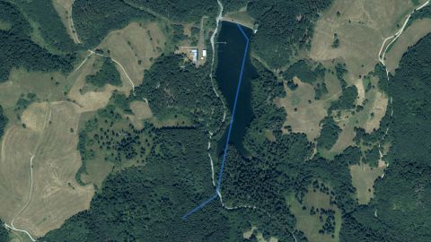 Salmon – trout
VN Rozgrund
2 fishing districts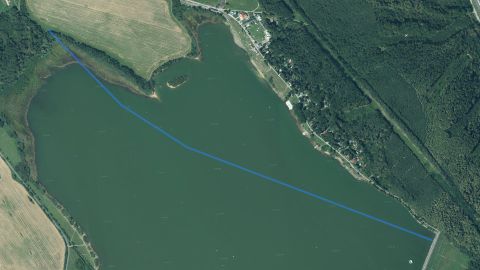 Carp
VN Ružiná
1 fishing district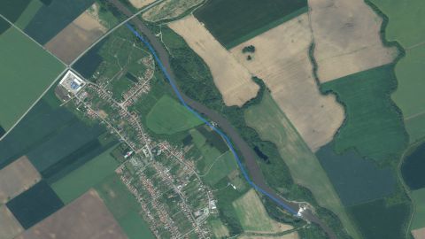 Carp
VN Šárovce
1 fishing district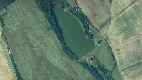 Carp
VN Sebechleby
1 fishing district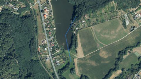 Carp
VN Šiatorská Bukovinka
1 fishing districtVN Skálnik
1 fishing district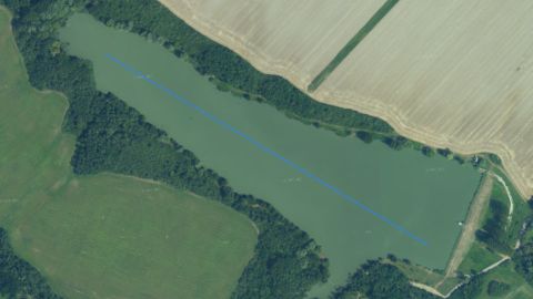 Carp
VN Sklabiná
1 fishing district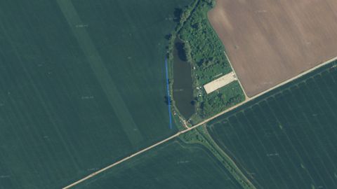 Carp
VN Svodov
1 fishing districtVN Tajch
1 fishing district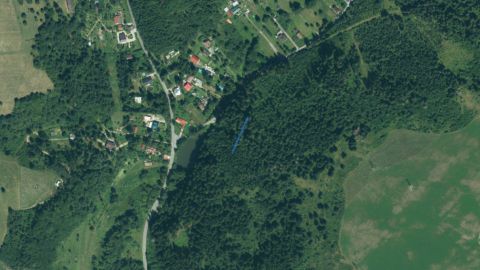 Carp
VN Tajch (Podbrezová)
1 fishing district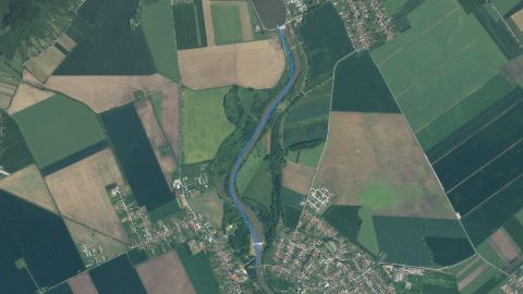 Carp
VN Tekov
1 fishing district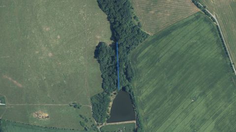 Carp
VN Tekovské Nemce
1 fishing district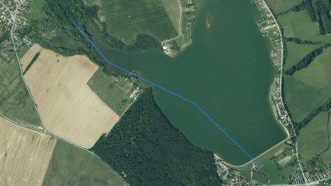 Carp
VN Teplý Vrch
1 fishing districtVN Tisovec
1 fishing district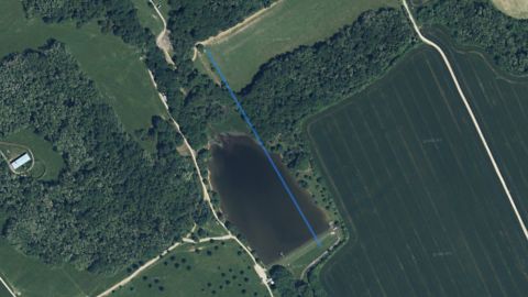 Carp
VN Tríbeč – Sekanina
1 fishing districtVN Tŕstie
1 fishing district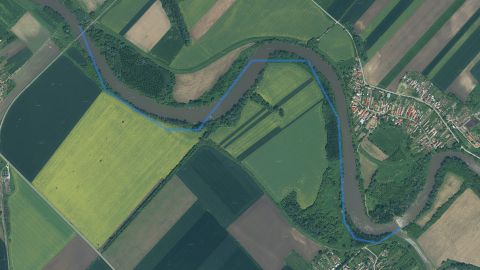 Carp
VN Turá
1 fishing districtVN Uhorské
1 fishing district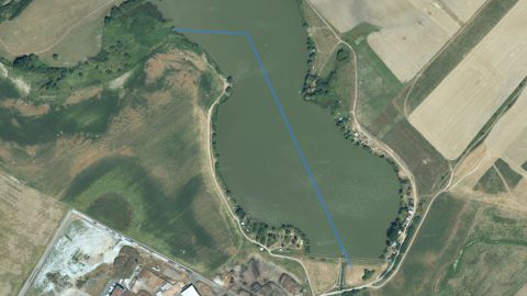 Carp
VN Veľké Dravce
1 fishing district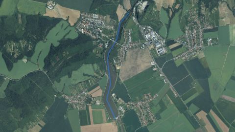 Carp
VN Veľké Kozmálovce
1 fishing districtVN Vlachovo I a II
1 fishing districtVN Vlachovo III
1 fishing districtVN Voznica
1 fishing district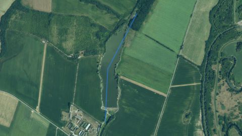 Carp
VN Vyškovce
1 fishing district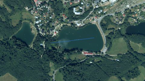 Carp
VN Winšachtské
1 fishing district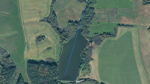 Carp
VN Zákruty
1 fishing district Carp
VN Závadka nad Hronom
1 fishing district Carp
VN Žibritov
1 fishing districtVodná nádrž Bakomy
1 fishing districtVodné nádrže pri Ban. Štiavnici
1 fishing district Carp, Salmon – trout
Východný Turiec
2 fishing districts Salmon – trout
Vyhniansky potok
1 fishing district Salmon – trout
Zdychava
2 fishing districtsŽelovce
1 fishing districtZemný vodojem Badín
1 fishing district Salmon – trout
Žitava
1 fishing district Salmon – trout
Zolná
1 fishing districtRiver basin map
Organizations and regions
Organizations in the river basinwhich local SRZ organizations manage fishing districts here
Show 25 more
Regionswhere the basin lies and what the conditions there are today
Water pollution in the Hron basin
Surface water near the fishing districtsnearest SHMÚ monitoring site, 2025
SHMÚ has no data for 159 fishing districts: there is no monitoring site with the same name near their watercourse.Most polluted fishing districtsfirst 8 of 90
Problem treatment plants near the fishing districts2 treatment plants within 2 km of the fishing district
Groundwater: measured valuestypical value from stations within 10 km, 2025
Highest nitrates
18from 100
1445fishing districts
Map color
Loading map…
lowerhigher