Watercourse

Váh

Váh basinCarpSalmon – troutSalmon – grayling
fishing districts
29
fishing district length
369km
regions
4
  • Carp263 km18 fishing districts
  • Salmon – trout56,4 km5 fishing districts
  • Salmon – grayling50,5 km6 fishing districts
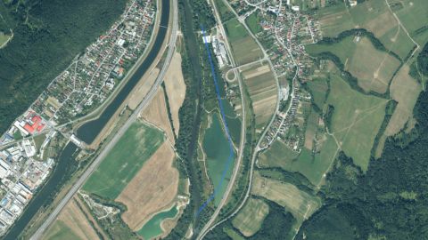
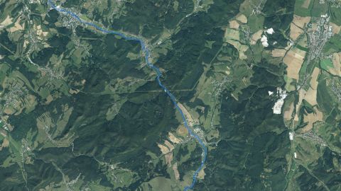
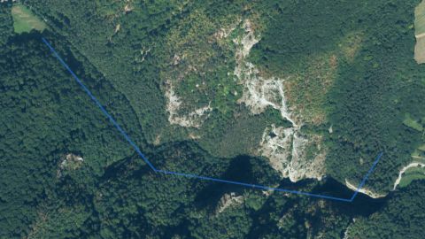
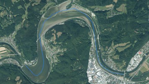
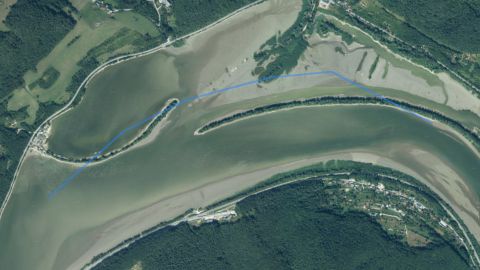
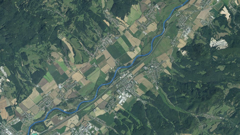
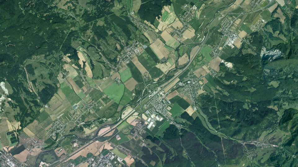
Aerial image of watercourse Váh with the line highlighted
Blue line: course of the watercourse (approximate). Orthophoto mosaic of Slovakia © GKÚ Bratislava, CC BY 4.0Mapy Google

By the water now

Today on the Váh watercourse

Fishing conditions score, the best window of the day and fishing districts from the best conditions

Average of the watercourse's fishing districts

Low activity · average of 29 fishing districts

The number in the header is an estimate for the middle of the watercourse based on weather and measurements. The average of the fishing districts also counts satellite data, shading and geology of each district.
  • Very high0
  • High0
  • Average0
  • Low29

When the best window ishow many fishing districts have their best two-hour window in a given hour

  1. 00
  2. 06
  3. 12
  4. 18

Most fishing districts have their best window around 06:00.

The score is an estimate of conditions based on weather, water and surroundings, not a bite forecast. Recalculated at 02:04.

Map and fishing districts of the watercourse

The course of the watercourse and its fishing districts. You can switch the line color to today's conditions, quality or any other parameter.

Detailed filtersregion, district, riverbed, depth, shading, satellites, water chemistry and pollution, fish, geology

1445fishing districts
Pick a category to narrow the selection. Next to each option you can see how many fishing districts remain.
Map color
Loading map…

Move the map with two fingers. In full-screen mode one finger is enough.

    Water state on the watercourse

    Measurement of water level, temperature and flow, weather by the watercourse and status from satellites

    Water levels on the watercourse

    StanicaStavZmenaTeplota
    Bešeňová32 cm–
    Hlohovec22 cm–
    Hubová49 cm–
    Kolárovo93 cm–
    Liptovský Hrádok52 cm–
    Liptovský Mikuláš95 cm–
    Strečno54 cm–
    Šaľa134 cm–
    Source: SHMÚUpdated 7 Nov 2026 01:57

    Elevation profile of the watercourse

    How the watercourse falls downstream: fall, gradient and water speed.

    Gentle gradient The current is noticeable, with shallows and slacks alternating. A transition between a lowland and a foothill watercourse.

    05001 0001 5000 km100 km200 kmč.22ač.21č.18ač.17ač.13č.11No. 9No. 8No. 7č.6aNo. 3No. 2No. 1
    Elevation profile of the watercourse: from 951 to 111 m a.s.l. over 293.7 km.
    Fishing districts in order from the highest (left) to the lowest. There may be a section without a fishing district between districts; it is not displayed.
    Highest point
    951 m a.s.l.
    Lowest point
    111 m a.s.l.
    Fall of the fishing districtsFallThe difference in altitude between the upper and lower end of the fishing district in metres. The greater the fall over a shorter length, the faster the water.
    840 m
    Average gradientWatercourse gradientFall per kilometre in per mille (‰, metres per kilometre). Up to 2 ‰ is a slow lowland river, 5 to 10 ‰ a foothill river (grayling, trout), above 10 ‰ a fast stream.
    2,9 ‰
    SinuositySinuosityThe length of the watercourse divided by the straight-line distance between its ends. 1.0 is a straight watercourse; above 1.3 it meanders strongly. Meanders create pools under the banks and shallows in the reaches between.
    1,22

    Source: Open Topo Data (eudem25m), 4 Nov 2026. Gradient and fall are approximate and include only the sections of fishing districts.

    Terén v 3D

    Loading the 3D terrain model…

    Historical images

    Changes in the surroundings and nature from 2017 to 2023: how the banks, vegetation and landscape around the water change. The images switch automatically; you can also browse them by hand.

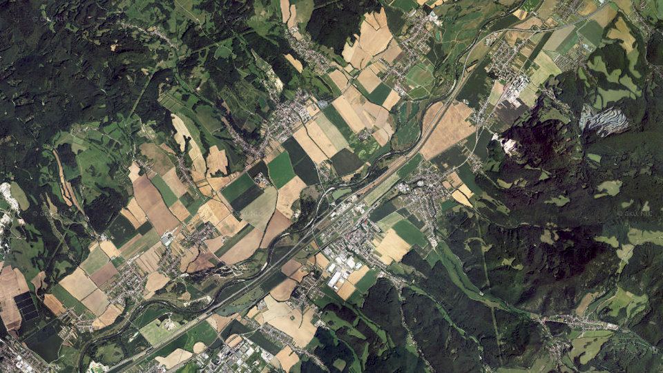
    Aerial image of watercourse Váh from 2017
    2017imaged 24 Aug 2017
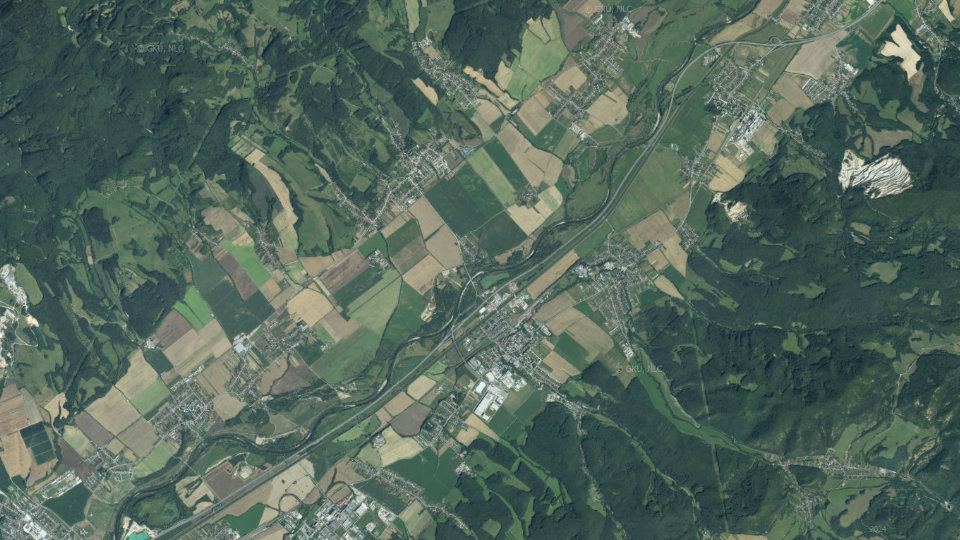
    Aerial image of watercourse Váh from 2020
    2020imaged 13 Aug 2020
    Aerial image of watercourse Váh from 2023
    2023imaged 14 Aug 2023

    Orthophoto mosaic of Slovakia © GKÚ Bratislava, NLC Zvolen. The year and day of imaging depend on the location, so individual years may differ in season and weather.

    Water pollution on the Váh watercourse

    Water quality according to SHMÚ, wastewater treatment plants near the fishing districts and groundwater nearby

    Surface water near the fishing districtsnearest SHMÚ monitoring site, 2025

    20 of 21 of the watercourse's fishing districts with SHMÚ data have an unmet standard at the nearest site in at least one indicator.

    • No unmet standard1
    • 1 to 2 indicators20
    • No SHMÚ data8
    SHMÚ has no data for 8 fishing districts: there is no monitoring site with the same name near their watercourse.

    Most polluted fishing districtsfirst 8 of 12

    • Váh č. 4Váh · standard not met in 4 of 4 years1 indicator
    • Váh č. 4aVáh · standard not met in 4 of 4 years1 indicator
    • Váh č. 5Váh · standard not met in 4 of 4 years1 indicator
    • Váh č. 2Váh · standard not met in 1 of 4 years1 indicator
    • Váh č. 3Váh · standard not met in 1 of 4 years1 indicator
    • Váh č.12Váh · standard not met in 1 of 4 years1 indicator
    • Váh č.19aVáh · standard not met in 1 of 4 years1 indicator
    • Váh č.19bVáh · standard not met in 1 of 4 years1 indicator

    Problem treatment plants near the fishing districts6 treatment plants within 2 km of the fishing district

    • COV Hlohovecload 108%0,2 km
    • COV Hradokload 130%0,6 km
    • COV Hybeload 114%0,1 km
    • COV Liptovsky Mikulasload 142%0,2 km

    Groundwater: measured valuestypical value from stations within 10 km, 2025

    15 of 29 fishing districts with measurements have groundwater nearby with a value above the limit for at least one indicator.

    • nitrates 25 to 50 mg/l1
    • harmful substances above the standard at at least one station (metals, pesticides, PFAS, solvents)10
    • ammonium or nitrites above the standard at at least one station11
    • iron from 1 mg/l4

    Highest nitrates

    Watercourse profile from source to mouthnumber of unmet indicators in 2025 at SHMÚ sites

    0123456Liptovský Mikuláš, Liptovská Mara, nad, rkm 346.7: 1 indicator (2022)vtok do Liptovskej Mary, rkm 344.9: no failed standard (2024)Hubová, rkm 308.8: 1 indicator (2025)Stankovany, rkm 304.5: no failed standard (2023)Nezbudská Lúčka, most, rkm 266.5: no failed standard (2025)vyústenie OV z VAS a.s. Mojšova Lúčka, pod, rkm 260.7: no failed standard (2022)VD ZA nádrž, Hruštiny, rkm 258.5: 1 indicator (2024)Biokoridor, nad objektom, rkm 258.5: 1 indicator (2024)Akumulačná nádž, pravá strana MVE, rkm 258.5: 1 indicator (2024)Budatín, most Dolná ulica, rkm 252.3: 1 indicator (2023)VN Hričov, pod, rkm 247.0: no failed standard (2025)Mikšová pri, most, rkm 230.1: no failed standard (2024)Piešťany, rkm 122.8: no failed standard (2025)Hlohovec, rkm 100.7: 1 indicator (2025)Sereď, nad, rkm 81.0: 6 indicators (2025)Šaľa, rkm 58.5: 1 indicator (2023)Vlčany, rkm 41.7: no failed standard (2025)Komárno, rkm 1.5: 5 indicators (2025)rkm 347 (upper course)rkm 2 (towards the mouth)
    Show sites in the table (18)
    • Liptovský Mikuláš, Liptovská Mara, nadriver km 346.71 indicator
    • vtok do Liptovskej Maryriver km 344.9no unmet standard
    • Hubováriver km 308.81 indicator
    • Stankovanyriver km 304.5no unmet standard
    • Nezbudská Lúčka, mostriver km 266.5no unmet standard
    • vyústenie OV z VAS a.s. Mojšova Lúčka, podriver km 260.7no unmet standard
    • VD ZA nádrž, Hruštinyriver km 258.51 indicator
    • Biokoridor, nad objektomriver km 258.51 indicator
    • Akumulačná nádž, pravá strana MVEriver km 258.51 indicator
    • Budatín, most Dolná ulicariver km 252.31 indicator
    • VN Hričov, podriver km 247.0no unmet standard
    • Mikšová pri, mostriver km 230.1no unmet standard
    • Piešťanyriver km 122.8no unmet standard
    • Hlohovecriver km 100.71 indicator
    • Sereď, nadriver km 81.06 indicators
    • Šaľariver km 58.51 indicator
    • Vlčanyriver km 41.7no unmet standard
    • Komárnoriver km 1.55 indicators
    • standard not met
    • no unmet standard
    • site not in the yearbook

    Source: SHMÚ (yearbooks on surface and groundwater quality), the register of wastewater treatment plants from VÚVH and the EEA. A SHMÚ site is assigned to a fishing district by the same watercourse name and by distance; the yearbook lists the sites that failed the standard, so a missing site is not proof of clean water.

    Organizations and location

    Who manages the fishing districts and where they are

    Organizations on the watercoursewho manages the fishing districts and what the conditions are there today
    1. RADA1 fishing district · 4,8 km32Váh – Krpeľany32
    2. Liptovský Hrádok2 fishing districts · 26 km23Váh č.22a23
    3. Lipt. Mikuláš2 fishing districts · 13 km21Váh č.2124
    4. Ružomberok4 fishing districts · 56 km19Váh č.18a20
    5. Žilina3 fishing districts · 16 km19Váh č.1534
    6. Martin3 fishing districts · 20 km15Váh č.1627
    Show 12 more
    1. Púchov1 fishing district · 14 km12Váh č.1012
    2. Nové Mesto nad Váhom1 fishing district · 34 km11Váh č. 711
    3. Šaľa1 fishing district · 29 km11Váh č. 211
    4. Sereď1 fishing district · 15 km11Váh č. 311
    5. Trenčín1 fishing district · 33 km10Váh č. 810
    6. Bytča1 fishing district · 22 km10Váh č.1210
    7. Kolárovo1 fishing district · 10 km10Váh č. 110
    8. Považská Bystrica1 fishing district · 5,7 km10Váh č.1110
    9. Dubnica nad V1 fishing district · 17 km9Váh č. 99
    10. Piešťany2 fishing districts · 26 km7Váh č. 67
    11. Drahovce1 fishing district · 3,7 km4Váh č. 54
    12. Hlohovec2 fishing districts · 24 km3Váh č. 46

    More watercourses nearby

    Váh basin