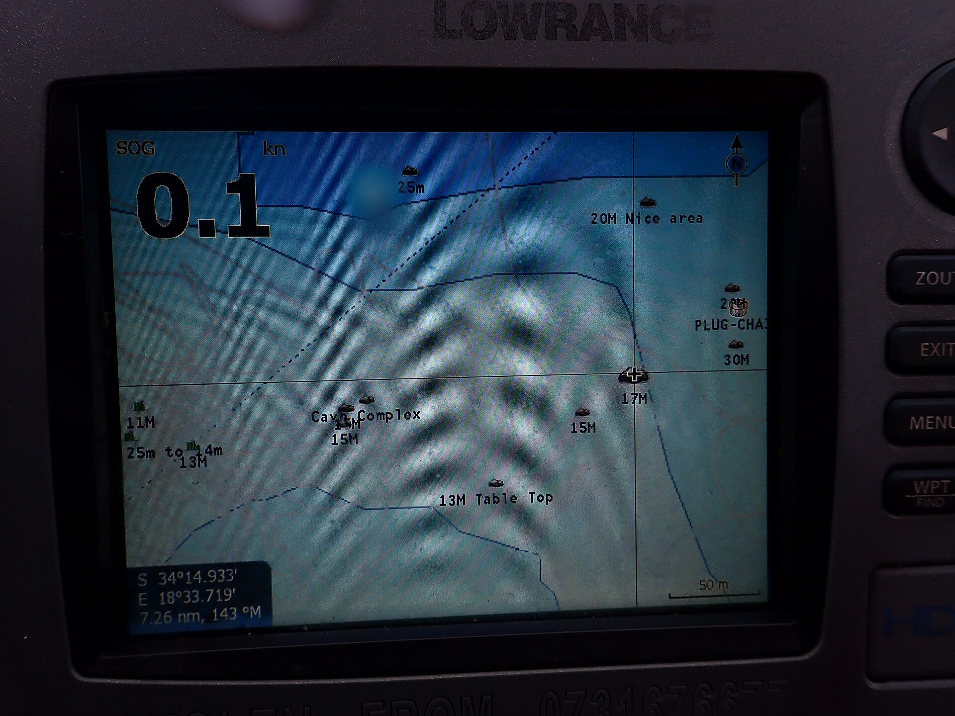
For many reservoirs you can already find a three-dimensional bed model on the portal. We build it from spot heights on old maps made before the valley was flooded, from airborne terrain scanning, from satellite images and from data about the reservoir. Such a model shows the old riverbed and the overall shape of the valley well, but it cannot guarantee the exact depth at a particular spot. The most accurate data come from measurements on the water, and plenty of anglers take them with an echo sounder.
That is why we have opened the Echo sounder data page on the portal. If you have a saved echo sounder log, you can upload it and help refine the bed of the reservoir or river where you fish.
How uploading works
- Choose the files. Drag the log files onto the page or choose them from your computer or phone. For Humminbird units, choose the whole log folder.
- Your browser reads them on your device. The file is first processed right in your browser. You will immediately see the track on a map coloured by depth, the shallowest and deepest points, the measurement date and the nearest fishing district.
- Add a few details. Check the fishing district, enter the transducer depth below the surface and confirm that these are your own measurements. If you like, we will list your name as a contributor for the fishing district.
- Odošlete. Only points with position, depth and time of measurement are sent to the server. Points outside Slovakia are not sent.
Any logged-in angler can upload. You can see your measurements in the My measurements list and delete them at any time.
Which devices and files we support
- Deeper: an export of measured depths from the Lakebook website as a CSV table.
- Lowrance, Simrad and B&G: SL2 and SL3 sonar logs from the memory card.
- Humminbird: the .DAT file together with the folder of .SON files.
- Chartplotters and navigation apps: a GPX track with depth in its points, an NMEA 0183 log with depth and position sentences, GeoJSON or your own table with latitude, longitude and depth.
- Garmin and other formats: we store the whole file and process it once we add support for reading it. It helps us if you upload it even though we cannot display it yet.
What happens to the measurements
We never publish tracks or individual points anywhere. We merge the measurements with everyone else's into the bed model grid, so nobody can tell where you went or where you stopped. Your favourite spots stay yours.
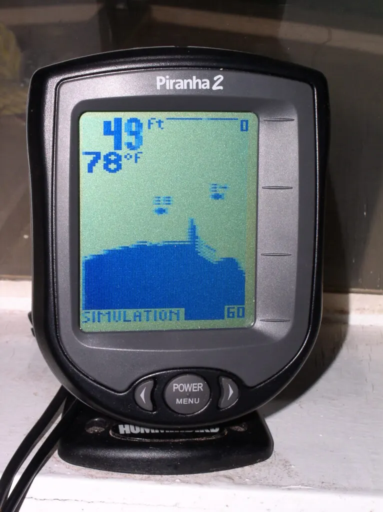
Reservoir levels vary by as much as several metres. That is why we convert depths to the water level on the day of measurement; otherwise measurements from different days could not be combined. For the same reason we ask for the transducer depth: an echo sounder measures from the transducer, not from the surface.
We check every measurement before it goes into the model. If you delete it or close your account, the model will be rebuilt without your points at the next recalculation. Details are in the Privacy Policy.
What not to upload
Only upload what you measured yourself with your own echo sounder. Charts from Navionics, C-MAP and similar apps are protected by licence, so you cannot send us exports from them.
People also often ask about the lidar in their phone. It cannot see under water, because water absorbs infrared light. That is why it is not suitable for measuring the bed.
How to record useful data
- Before you set off, turn on log recording to the memory card. Without it, the echo sounder only displays depths and does not save them.
- Set the transducer depth in the device settings, or write it down and enter it when uploading.
- Go slowly, in parallel lanes or zigzagging from bank to bank. A few passes across the reservoir tell more about the bed than one long run along the bank.
- The places that help most are those where the model is still only an estimate: reservoir backwaters, bays, the surroundings of islands and the edges of the old riverbed.
- If you have logs from past seasons, upload those too. What matters is that they have a date; if not, you can add it when uploading.
What comes next
For now we are collecting the first measurements. Once there are enough for a reservoir, we will use them to calculate its bed, and with the model we will say where its shape comes from and name the contributors who agreed to it. The more anglers take part, the more accurate the models will be for everyone.
If your echo sounder uses a format we cannot read yet, or uploading does not work for you, write to us via the Operator and contact page. A sample log helps us add support for more devices.
Cover photo: Peter Southwood, Wikimedia Commons (CC0)
More articles
 Portal newsWelcome to the Rybárstvo.sk blogThe blog is a place for stories from the water, experiences from fishing districts and portal news. Any logged-in angler can write for it. · 3 min read · Redakcia Rybárstvo.sk
 Portal newsCompetitions on the portal: registration, entry fees and live resultsOrganising a competition? Publish it on the portal for free, take registrations and have the results calculated right by the water. · 3 min read · Redakcia Rybárstvo.sk
 Guides and tipsHow to use the portal to find out whether it is worth going fishing todayConditions score, water temperature, water levels and the law today: what each figure means and how to read them together. · 3 min read · Redakcia Rybárstvo.sk
Have your own story from the water or a proven method? Write it up and we will publish it under your name.
Leave a comment