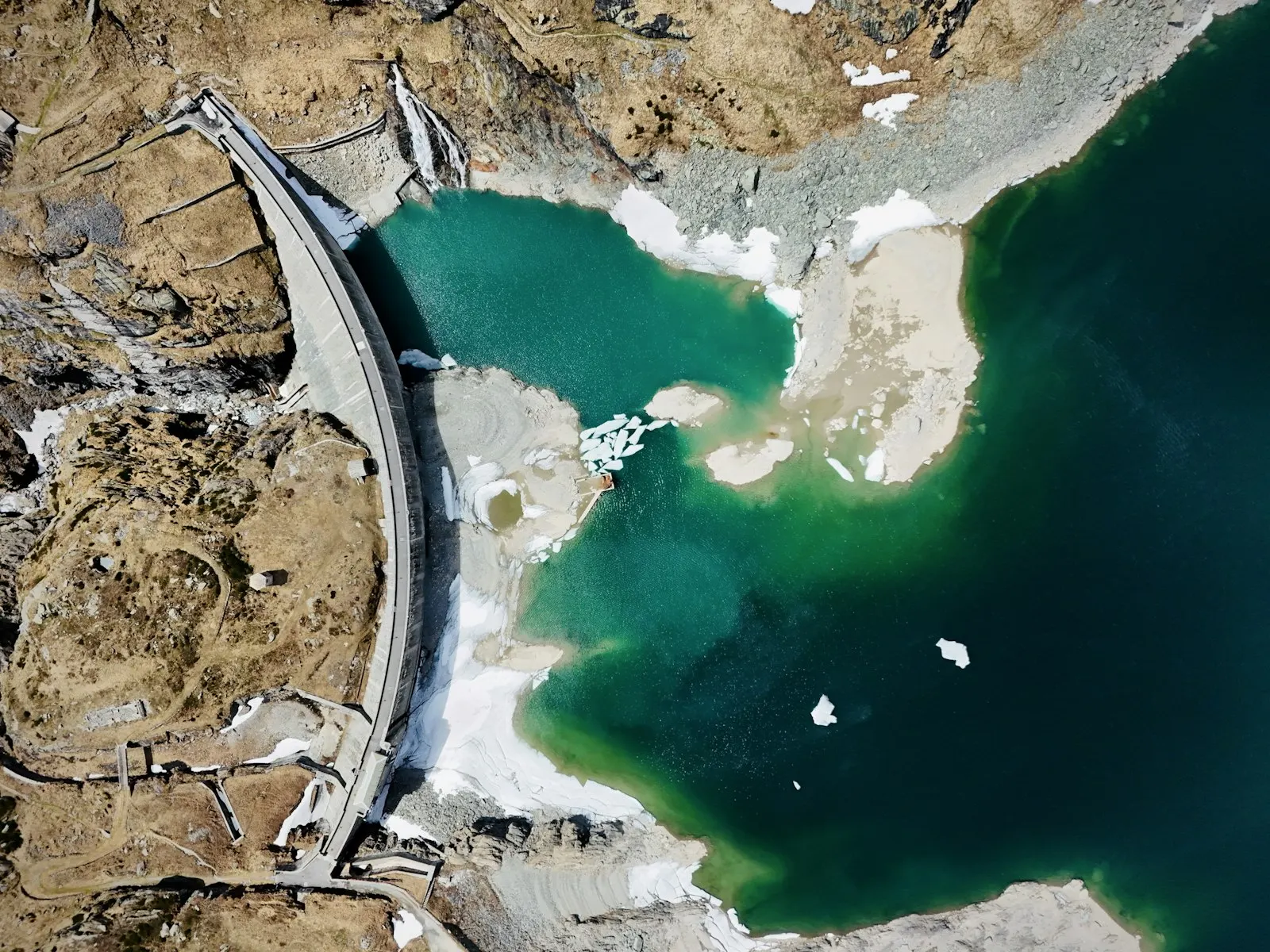
An angler who knows where the bottom drops off, where the old river bed runs and where the shallows are has a big advantage on a reservoir. For most Slovak reservoirs, however, there are no public bottom surveys. The model you will find on the portal under Reservoirs in 3D is therefore assembled from several sources, and for each reservoir we state how far it can be trusted.
Where the shape of the bottom comes from
- Reliability A: the bottom is the original terrain from topographic maps made before flooding, or the maximum depth and volume are known from the scientific literature.
- Reliability B: the maximum depth comes from the fishery rules, the shape of the bottom is calculated.
- Reliability C: depths are estimated from the slope of the banks and the shape of the water surface.
The surrounding terrain comes from airborne laser scanning (digital terrain model DMR 5.0), and we track the extent of the water on Sentinel-2 satellite images. For small gravel pits and ponds the reliability is mostly C, so treat the depths there as approximate.
Maps from before flooding
Our most accurate models are where we know the valley as it was before the dam was built. The National Geoportal publishes historical topographic maps from the 1950s and 1960s with spot heights. For Liptovská Mara and Domaša we read from them the heights of the valley floor, the river level and the lower slopes, and calculated how deep the bottom lies below the surface today.
We compared the result with published figures. For Domaša the model volume came out at 174 million m³; the literature gives 173 to 178 million m³. For Liptovská Mara the model is about 7% smaller than the published volume. The differences arise mainly in the backwater zone, where sediment has settled over the decades, and from the water level, which changes by several metres during the year.
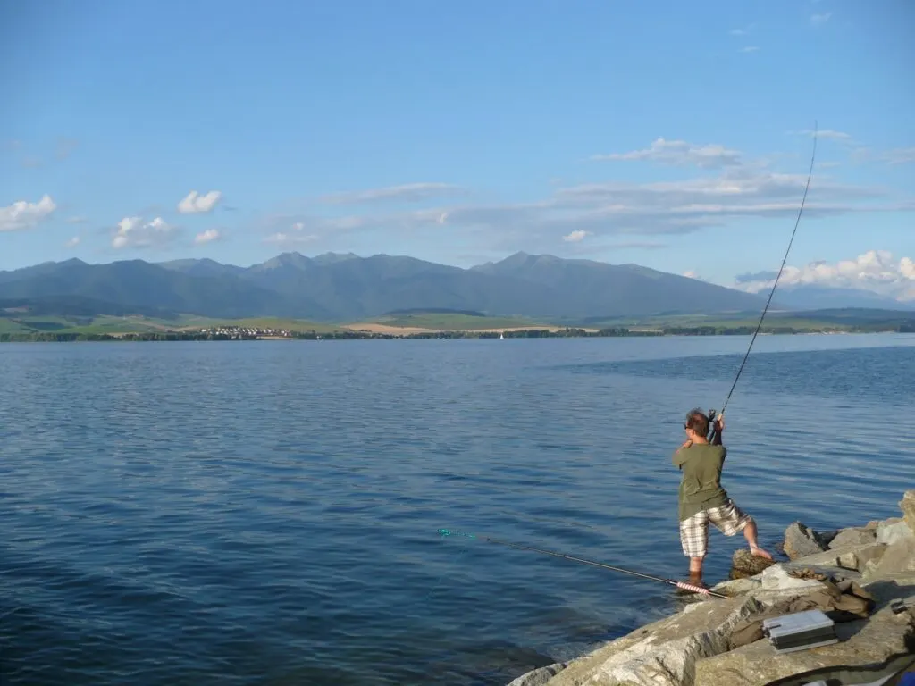
What you can do in the model
You can lower the water level with a slider and look at the bottom: the original river beds under water, terraces, flooded roads and places where the bottom drops steeply. Drop-offs and old river beds are natural routes along which many predatory fish move in search of food. The shallows near inflows are the first to warm up in spring.
- Fish mode shows where individual species are most often found according to depth, temperature and current.
- Geology mode shows the rocks beneath the bottom and around the reservoir. Hard limestone bedrock gives different water than acidic crystalline rocks.
- Below the bottom mode shows the layers beneath the sediment where data are available.
Whole rivers from source to mouth
New are models of entire rivers. A strip of terrain runs along the river and covers its surroundings on each side. The flow is calculated for the selected discharge, including tributaries that mix with the main river. With the discharge slider you can see how the river behaves in a drought, at average levels and in a flood, when the water spills onto the floodplain. The calculation is demanding, so river models are being computed gradually and are still missing for some rivers.
How to use the model when preparing
Before a trip to a reservoir you don't know, open the model and lower the water level by a few metres. You will immediately see where the bottom is flat and where it drops off. When fishing from the bank, look for places where deeper water is within casting range. When fishing from a boat, follow the old river bed: on many reservoirs it is the deepest part and runs from the dam all the way to the backwater.
- In spring the shallows and bays on the sunny side warm up first. That is where fish gather first after winter.
- In summer the water in the reservoir stratifies, and the deep water is usually colder with less oxygen. Fish often stay in the transition layer and near inflows that bring fresh water.
- In autumn the temperature evens out and fish gradually move to deeper places where they will spend the winter.
These are general angling experiences; every reservoir has its own peculiarities. The model will help you understand its shape; the water will teach you the rest.
What the model is not for
The model is an aid for preparing at home, not a navigation tool. The bottom of a reservoir changes with sediment and gravel extraction, the water level fluctuates during the year, and for small waters the depths are only estimates. On the water always go by what you see, when fishing from a boat also by the fishery rules, and when wading in a river by caution: the current is stronger than it looks from the bank.
If you know the depths of your reservoir better, for example from your own sonar, and the model differs from them, write to us. Every comparison with reality helps make the model more accurate.
Cover photo: Cosmin Andrei Buzamat, Unsplash (Unsplash License)
More articles
 Portal newsWelcome to the Rybárstvo.sk blogThe blog is a place for stories from the water, experiences from fisheries and portal news. Any signed-in angler can write for it. · 3 min read · Redakcia Rybárstvo.sk
 Guides and tipsHow to use the portal to find out whether it is worth going fishing todayConditions score, water temperature, water levels and the law today: what each figure means and how to read them together. · 3 min read · Redakcia Rybárstvo.sk
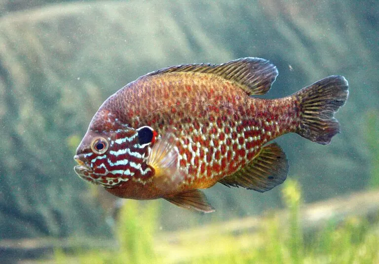 Fish and natureInvasive fish species in Slovakia: how to recognise them and what the decree saysGobies, bullheads, pumpkinseed and topmouth gudgeon: which fish the decree lists as invasive, how to recognise them and what applies when an angler catches one. · 3 min read · Redakcia Rybárstvo.sk
Have your own story from the water or a proven method? Write it up and we will publish it under your name.
Leave a comment