River basin Average fishing conditions score, the best window of the day and the best fishing districts Low activity · average of 309 fishing districts Most fishing districts have their best window around 06:00. The score is an estimate of conditions based on weather, water and surroundings, not a bite forecast. Recalculated at 02:04. The ten watercourses with the best conditions today (without a fresh score, by fishing district length). All watercourses are lower down in the cards. Cards with photos, search and detailed filters. You'll find the fishing districts on each watercourse's page. For watercourses it is enough if at least one fishing district on the watercourse has the given property. Within one group the values complement each other (or); the groups combine (and). 256 of 256 watercourses We found nothing. Watercourses and fishing districts of the river basin. You can switch the line color to today's conditions, quality or any other parameter. Detailed filtersregion, district, riverbed, depth, shading, satellites, water chemistry and pollution, fish, geology Move the map with two fingers. In full-screen mode one finger is enough. The score is an estimate of conditions based on weather, water and surroundings, not a bite forecast. For each fishing district you can see what it is made of, how well it is supported by data and where the data comes from. Who manages the basin's fishing districts and in which regions they lie Water quality according to SHMÚ, wastewater treatment plants near the fishing districts and groundwater nearby 70 of 87 fishing districts in the river basin with SHMÚ data have an unmet standard at the nearest site in at least one indicator. 265 of 309 fishing districts with measurements have groundwater nearby with a value above the limit for at least one indicator. Water pollution in the Morava basinWater pollution in the Little Danube basin and on Žitný ostrov (Rye Island)Polluted water in Slovakia Source: SHMÚ (yearbooks on surface and groundwater quality), the register of wastewater treatment plants from VÚVH and the EEA. A SHMÚ site is assigned to a fishing district by the same watercourse name and by distance; the yearbook lists the sites that failed the standard, so a missing site is not proof of clean water.Danube basin
Today in the Danube river basin
Priemer povodia
When the best window ishow many fishing districts have their best two-hour window in a given hour
Best conditions todayfirst 6 of 309 fishing districts
Watercourses of the river basin
Watercourses ranked by today's conditionsaverage score of the fishing districts on the watercourse, their length and the best fishing district
All watercourses of the river basin
Detailed filtersdepth, bottom, watercourse line, shading, vegetation, structures
Akácos
1 fishing districtApáli
1 fishing district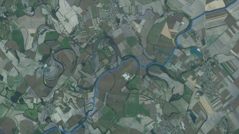 Carp
Aszódsky kanál
2 fishing districtsBalatón
1 fishing districtBaráky
1 fishing districtBezedné
1 fishing district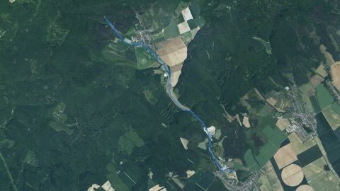 Salmon – trout
Blava
1 fishing districtBobrie jazero
1 fishing district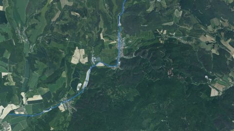 Salmon – trout
Brezovský potok (Senica)
1 fishing districtBVN Stará Tehelňa
1 fishing district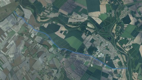 Carp
Čergovský kanál
1 fishing districtChorvátsky kanál
1 fishing district Carp, Salmon – trout
Chvojnica
2 fishing districts Carp
Čierna voda
4 fishing districtsDolná Rudávka
1 fishing district Carp
Dolnobarský kanál
1 fishing district Carp
Danube
22 fishing districts Carp
Farská voda
1 fishing district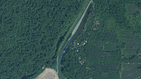 Carp
Feld
1 fishing district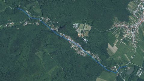 Salmon – trout
Gidra
1 fishing districtHabán
1 fishing district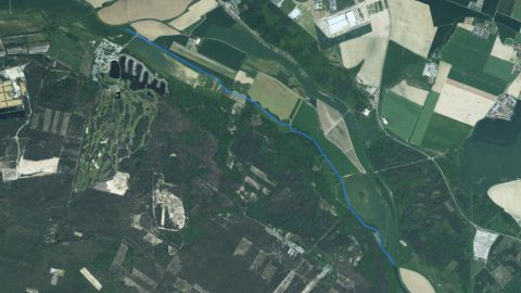 Carp
Hlbocké rameno
1 fishing districtHlboké jazero v Senci
1 fishing districtHorná Rudávka
1 fishing districtÍlovisko Konopiská
1 fishing district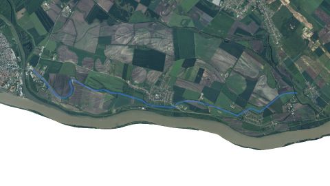 Carp
Ižianský kanál
2 fishing districtsJazero Čierny Feld
1 fishing districtJazero Kakal
1 fishing districtJazero Varjaš č. 1 pri Gabčíkove
1 fishing districtJazero Varjaš č. 2 pri Gabčíkove
1 fishing districtJazero Veľký Les
1 fishing districtJunkov Dolec
1 fishing district Carp
Kanál Kátovské jazero
1 fishing district Carp
Kanál Malina
2 fishing districts Carp
Kanál Stará Gúta
1 fishing district Carp
Kanál Vrbová
1 fishing district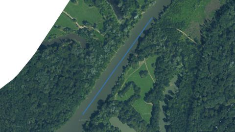 Carp
Kátovský Kút
1 fishing district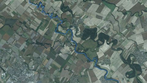 Carp
Klátovské rameno
2 fishing districtsKonkoli
1 fishing districtKruh
1 fishing district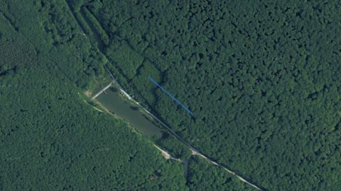 Carp
Kubinov kríž
1 fishing districtLábske jazero
1 fishing district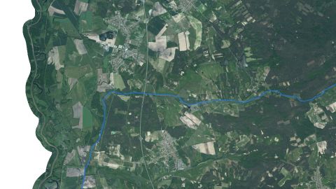 Carp
Lakšár
1 fishing district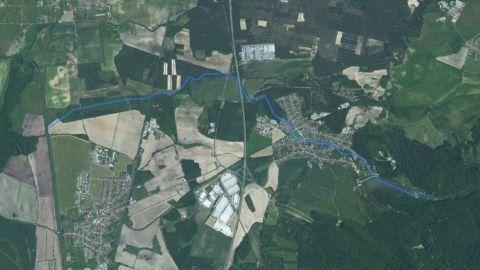 Salmon – trout
Lozorňanský potok
1 fishing district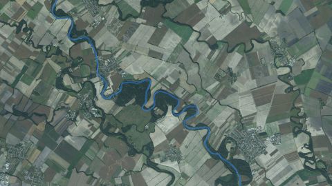 Carp
Little Danube
6 fishing districts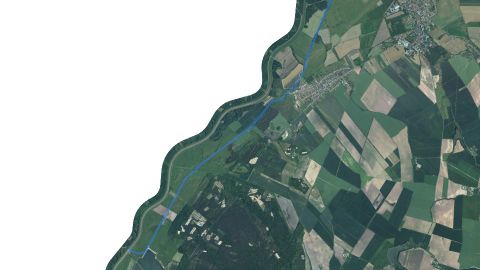 Carp
Melioračný kanál Tvrdonice
1 fishing district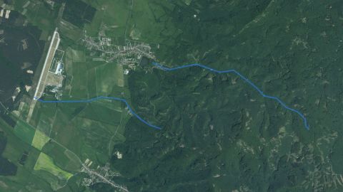 Salmon – trout
Modranská Malina
1 fishing district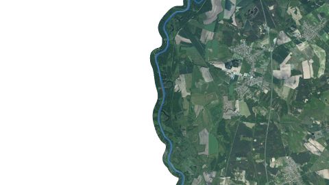 Carp
Morava
9 fishing districtsMR Martovce
1 fishing districtMR Panská Morava
1 fishing districtMR Raudazi
1 fishing district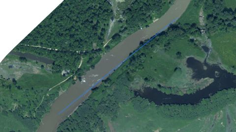 Carp
MR Stará Morava
1 fishing districtMR Židova Morávka
1 fishing district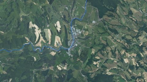 Carp, Salmon – trout
Myjava
5 fishing districtsNový Diel
1 fishing district Carp
Odpadový kanál
2 fishing districtsOR Hámre
1 fishing districtOR Kolárovské
1 fishing districtOR Kőrtvélyes
1 fishing districtOR Krátke
1 fishing district Carp
OR Lipa
1 fishing district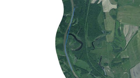 Carp
OR Moravský Svätý Ján – dolné
1 fishing district Carp
OR Moravský Svätý Ján – horné
1 fishing districtOR Patkový Piesok
1 fishing district Carp
OR Podkova
1 fishing district Carp
OR Sekule
1 fishing districtOR Starý les (Aggerdó)
1 fishing districtOR Trstice
1 fishing districtOR Virt
1 fishing district Carp
OR Žlutnica
1 fishing districtPanonský Les
1 fishing district Salmon – trout
Parná
1 fishing districtPieskovňa Plavecký Štvrtok
1 fishing districtPožiarna nádrž
1 fishing districtPrepadlina Osmička
1 fishing district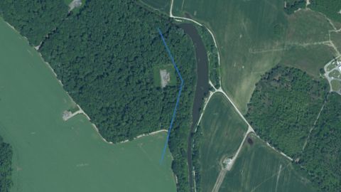 Carp
Prukse
1 fishing districtRašelinisko 3
1 fishing districtRašelinisko Csanád
1 fishing districtRašelinisko Horná Potôň – Lúky – 3
1 fishing districtRašelinisko Horná Potôň – Lúky 1-2
1 fishing districtRašelinisko Plavecký Peter III.
1 fishing districtRašelinisko Plavecký Peter IV.
1 fishing districtRašelinisko Plavecký Peter Rybník I.
1 fishing districtRašelinisko P. Úľany
1 fishing districtRašelinisko Pusté Úľany
2 fishing districtsRašelinisko Rohožník č. 1 Kuzma 1
1 fishing districtRašelinisko Rohožník č. 2 Kosek
1 fishing districtRašelinisko Rohožník č. 3 – Starý chovný
1 fishing districtRašelinisko Rohožník č. 4 Kúpalisko
2 fishing districtsRašelinisko Rohožník č. 5 Triangel
1 fishing districtRašelinisko Rohožník č. 6 Malý chovný
1 fishing districtRašelinisko Rohožník č. 7 Chmelík
1 fishing districtRašelinisko Tárnok
1 fishing districtRašelinisko Topoľníky
2 fishing districtsRašelinisko Veľký Grob
1 fishing districtRašelinisko Záhorská ves
1 fishing district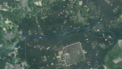 Carp, Salmon – trout
Rudava
2 fishing districtsRudava kanál
1 fishing district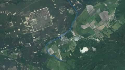 Carp
Rudávka
1 fishing districtSlnečné jazerá v Senci
1 fishing district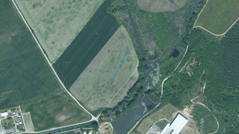 Carp
Špek
1 fishing district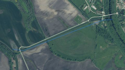 Carp
Spojovací kanál Martovce
1 fishing districtSR Obloz
1 fishing district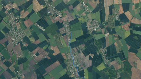 Carp
Stará Nitra
3 fishing districtsŠtelc a Výkopa
1 fishing district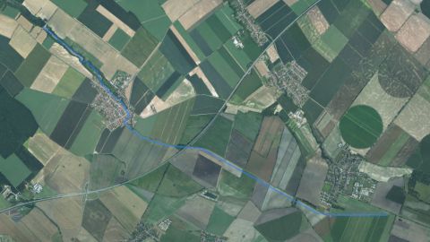 Carp
Stoličný potok
1 fishing districtStrieborné jazerá Senec
1 fishing districtŠtrkoviská Martovce
1 fishing districtŠtrkoviská Vlkanovo
1 fishing districtŠtrkovisko Adamov
2 fishing districtsŠtrkovisko Antónia
1 fishing districtŠtrkovisko Bajč
1 fishing districtŠtrkovisko Baloň
1 fishing districtŠtrkovisko Bartus
1 fishing districtŠtrkovisko Bellová Ves
1 fishing districtŠtrkovisko Bendö
1 fishing districtŠtrkovisko Bernolákovo
1 fishing districtŠtrkovisko Blatná na Ostrove
1 fishing districtŠtrkovisko Bohatá
2 fishing districtsŠtrkovisko Böky pri Gabčíkove
1 fishing districtŠtrkovisko Boričky I.
1 fishing districtŠtrkovisko Boričky II.
1 fishing districtŠtrkovisko Brodské
1 fishing districtŠtrkovisko Čáky
1 fishing districtŠtrkovisko Čečinská Potôň
1 fishing districtŠtrkovisko Čergov
1 fishing districtŠtrkovisko Číčov
1 fishing districtŠtrkovisko Čierny Brod
1 fishing districtŠtrkovisko Dolná Tehelňa Pezinok
1 fishing districtŠtrkovisko Dolné Saliby
1 fishing districtŠtrkovisko Drahy
1 fishing districtŠtrkovisko Dunajská Lužná Malá Voda
1 fishing districtŠtrkovisko Eliašovce – Krčma
1 fishing districtŠtrkovisko Gajarské
1 fishing districtŠtrkovisko Holíč
1 fishing districtŠtrkovisko Holice
1 fishing districtŠtrkovisko Horný Bar
1 fishing districtŠtrkovisko Hrubá Borša
1 fishing districtŠtrkovisko Hubice
1 fishing districtŠtrkovisko Hviezdoslavov
1 fishing districtŠtrkovisko Imeľ
1 fishing districtŠtrkovisko Ivanka pri Dunaji
1 fishing districtŠtrkovisko Jahodná
4 fishing districtsŠtrkovisko Jakubov
2 fishing districtsŠtrkovisko Jastrabie Kračany
1 fishing districtŠtrkovisko Kalinkovo
1 fishing districtŠtrkovisko Kalná
1 fishing districtŠtrkovisko Kava I.
1 fishing districtŠtrkovisko Kližská Nemá
1 fishing districtŠtrkovisko Kňaz – Malé Leváre
1 fishing districtŠtrkovisko Konkol
1 fishing districtŠtrkovisko Kotelnica
1 fishing districtŠtrkovisko Kuchajda
1 fishing districtŠtrkovisko Kúty
1 fishing districtŠtrkovisko Kvetoslavov
1 fishing districtŠtrkovisko Ľadová voda – Dunajek
1 fishing districtŠtrkovisko Lakšárska Nová Ves
1 fishing districtŠtrkovisko Lesné Kračany
1 fishing districtŠtrkovisko Lúčky
1 fishing districtŠtrkovisko Magla – Vrakúň
1 fishing districtŠtrkovisko Malá Mača
1 fishing districtŠtrkovisko Malé Axi
1 fishing districtŠtrkovisko Malé Čunovo
1 fishing districtŠtrkovisko Michal n/O – Kolónia
1 fishing districtŠtrkovisko Mliečno
1 fishing districtŠtrkovisko Mógol
1 fishing districtŠtrkovisko na Židovkách
1 fishing districtŠtrkovisko Nesvady
1 fishing districtŠtrkovisko Ohrady č. 1 a 2
1 fishing districtŠtrkovisko Okoč
1 fishing districtŠtrkovisko Orechová Potôň
1 fishing districtŠtrkovisko Oširíd
1 fishing districtŠtrkovisko Padáň
1 fishing districtŠtrkovisko Pavlov Dvor
1 fishing districtŠtrkovisko Polcestie
1 fishing districtŠtrkovisko Rohlík
1 fishing districtŠtrkovisko Rovinka Veľká Voda
1 fishing districtŠtrkovisko Rovinka Za Hrádzu
1 fishing districtŠtrkovisko Rusovce
1 fishing districtŠtrkovisko Šamorín
1 fishing districtŠtrkovisko Šámot
1 fishing districtŠtrkovisko Šaštín – Stráže
1 fishing districtŠtrkovisko Sokolce
1 fishing districtŠtrkovisko Štrkovec
1 fishing districtŠtrkovisko Štvorec
1 fishing districtŠtrkovisko Suchohradské 1
1 fishing districtŠtrkovisko Suchohradské 2
1 fishing districtŠtrkovisko Tisota
1 fishing districtŠtrkovisko Topoľníky
1 fishing districtŠtrkovisko Trhová Hradská
1 fishing districtŠtrkovisko Trojuholník
1 fishing districtŠtrkovisko U horára
1 fishing districtŠtrkovisko u Janíčkov
1 fishing districtŠtrkovisko Unín
1 fishing districtŠtrkovisko Vajnory 1
1 fishing districtŠtrkovisko Vajnory 2
1 fishing districtŠtrkovisko Veľké Axi
1 fishing districtŠtrkovisko Veľké Blahovo
1 fishing districtŠtrkovisko Veľké Čunovo
1 fishing districtŠtrkovisko Veľký Biel
1 fishing districtŠtrkovisko Veľký Meder
1 fishing districtŠtrkovisko Vieska
1 fishing districtŠtrkovisko Vincov les
1 fishing districtŠtrkovisko Virt
1 fishing districtŠtrkovisko Vitény
1 fishing districtŠtrkovisko Vydrany
1 fishing districtŠtrkovisko Záhorská Ves
1 fishing districtŠtrkovisko Zelená voda 1
1 fishing districtŠtrkovisko Zelená voda 2
1 fishing districtŠtrkovisko Zlaté piesky
1 fishing districtŠtrkovisko Zrkadlový Háj
1 fishing districtŠtrkovisko Zúgó
1 fishing districtStrža
1 fishing district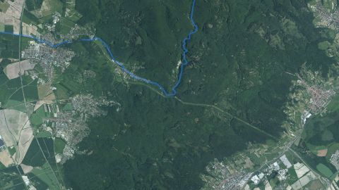 Salmon – trout
Stupavský potok
2 fishing districts Carp
Šúrsky potok
2 fishing districtsTónišove MR
1 fishing districtVachálkov rybník
1 fishing district Carp
Vážsky Dunaj
1 fishing district Carp
VN Brestovec
1 fishing district Carp
VN Brezová
1 fishing districtVN Budmerice II.
1 fishing district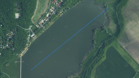 Carp
VN Buková
1 fishing district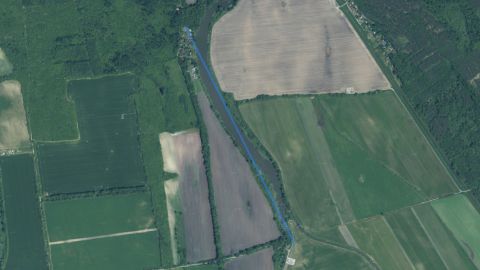 Carp
VN Centnúz
1 fishing district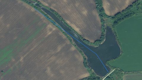 Carp
VN Dubník
1 fishing districtVN Hlboké
1 fishing district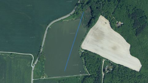 Carp
VN Koválov
1 fishing district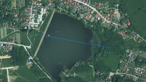 Carp
VN Kuchyňa
1 fishing district Carp
VN Kučišdorf
1 fishing district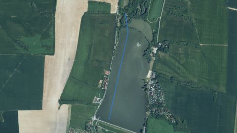 Carp
VN Kunov
1 fishing districtVN Kúpeľné
1 fishing district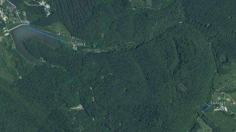 Salmon – trout, Carp
VN Lozorno
2 fishing districts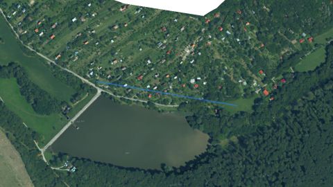 Carp
VN Mlynky
1 fishing district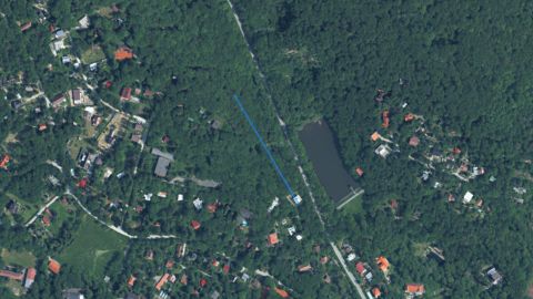 Carp
VN Modra – Harmónia
1 fishing districtVN Modra – Kráľová
1 fishing districtVN Osuské
1 fishing districtVN Prietržka
1 fishing districtVN Radošovce I.
1 fishing district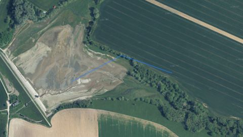 Carp
VN Radošovce II.
1 fishing district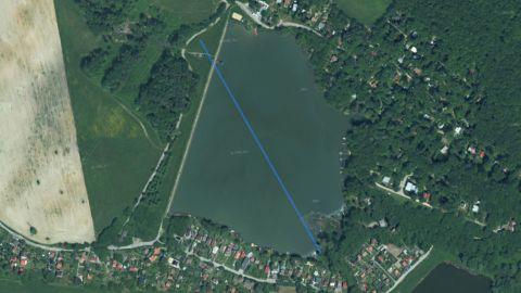 Carp
VN Rohožník
1 fishing district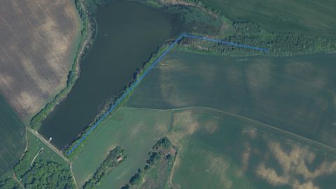 Carp
VN Rúbaň
1 fishing district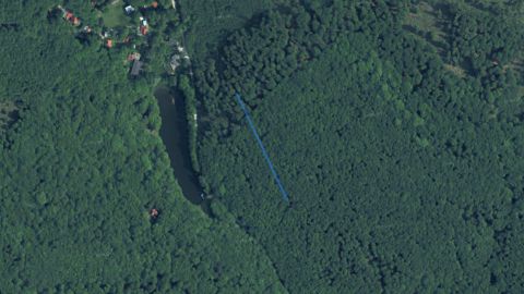 Carp
VN Slnečné Údolie
1 fishing district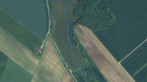 Carp
VN Svodín
1 fishing districtVN Viničné
1 fishing district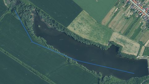 Carp
VN Vištuk
1 fishing districtVN Vrbovce
1 fishing districtVN Zadný Šúr
1 fishing districtVN Železná studnička
2 fishing districtsVojnícky potok
1 fishing district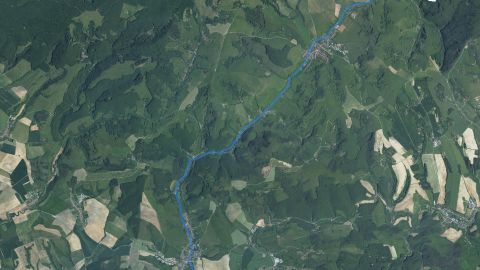 Salmon – trout
Vrbovčianka
1 fishing district Salmon – trout
Vydrica
1 fishing districtVysocký kanál
1 fishing district Carp
Záhorský kanál
1 fishing district Carp
Žitava
1 fishing districtŽitava kanál
2 fishing districts Carp
Žitnoostrovské kanály
3 fishing districts Carp
Zohorský kanál
2 fishing districtsRiver basin map
Organizations and regions
Organizations in the river basinwhich local SRZ organizations manage fishing districts here
Show 27 more
Regionswhere the basin lies and what the conditions there are today
Water pollution in the Danube basin
Surface water near the fishing districtsnearest SHMÚ monitoring site, 2025
SHMÚ has no data for 236 fishing districts: there is no monitoring site with the same name near their watercourse.Most polluted fishing districtsfirst 8 of 60
Problem treatment plants near the fishing districts8 treatment plants within 2 km of the fishing district
Groundwater: measured valuestypical value from stations within 10 km, 2025
Highest nitrates
11from 100
1445fishing districts
Map color
Loading map…
lowerhigher